What is recorded here
In SW quadrant of a ringfort (MA121-091001-). This structure was recorded in 1978 as follows: 'There is gap in the bank [of the ringfort] on the SSW side. This leads into a small stone structure of sub-rectangular plan, now outlined by a wall footing. This feature and the entrance appear to be of more recent origin -possibly the remains of a lime kiln or a corn-drying kiln.' (SMR file, 1978). It was recorded by Lavelle (1994, 22, no. 101) as: ‘Gap on SSW with parallel walls (L 15m) of dry-stone masonry running N toward interior, ending in subrectangular area’.
Compiled by: Jane O’Shaughnessy
Date of upload: 7 January 2015
The monument record does not grant public access. Check the route and ask the landowner before entering private land.
- What survives
- Recorded monument
Places near here
 IndicatedFairy fort / ringfort · 11 yd
 Ballymacgibbon CairnArchaeological place · 141 yd
 Killursagh Church in RuinsChurch · 678 yd
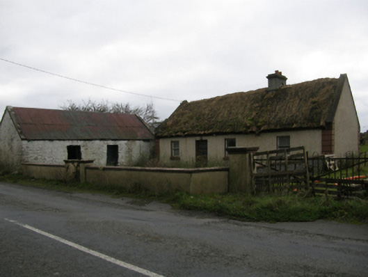 farm housefarm house · 823 yd
 Caherduff CastleCastle · 1473 yd
 Easter IslandIslet · 1.2 mi
 Gibbs IslandsIslet · 1.3 mi
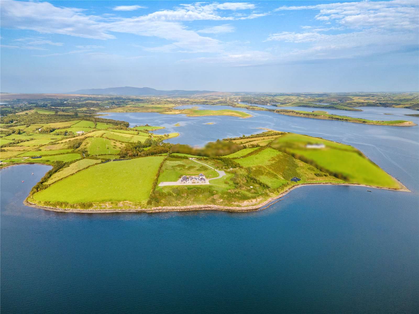 CastleCastle, tower house · 1.5 mi
 Kelly's CaveCave · 1.8 mi
 Cong AbbeyHeritage attraction · 2.1 mi
 European YewEuropean Yew · 2.1 mi
 Quiet Man MuseumMuseum · 2.1 mi