What is recorded here
In pasture, on an E-facing slope adjacent to the W shore of Lough Arrow. Listed in the RMP (1995) as a 'Brick kiln,'. This feature is immediately south of a possible kiln (SL040-168001-) and is barely discernible. It is evident as a slight rise or surface irregularity (diam. c. 2m) located within a sub-rectangular area (c. 10m NE-SW x c. 7.5m NW-SE). The exact nature of this feature is unknown. There is no evidence to suggest that these are the remains of a brick kiln and there is no local information of such. Immediately N is a possible kiln (SL040-168001-), to the NE a platform-like area (SL040-0168004-) and to the W the remains of a house (SL040-168003). Although the date of these features cannot be determined with any degree of accuracy it is likely that they date to the post-AD 1700 period.
The monument record does not grant public access. Check the route and ask the landowner before entering private land.
- What survives
- Recorded monument
Places near here
 Church in AghanaghChurch · 328 yd
 Enclosure in AghanaghEnclosure · 392 yd
 Font in AghanaghFont · 528 yd
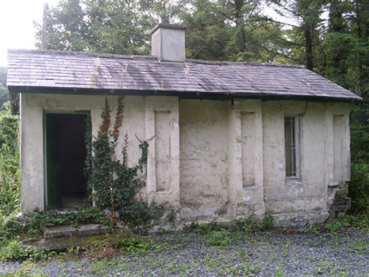 Hollybrook Housegate lodge · 1523 yd
 Ballinafad CastleCastle · 1541 yd
 Muck IslandIslet · 1.0 mi
 MoatCastle, motte · 1.2 mi
 Carricknahorna EastMountain / peak · 1.8 mi
 Loughbrick BayBay · 1.8 mi
 InishmoreIslet · 2.3 mi
 Bricklieve MountainsMountain / peak · 2.4 mi
 The CopseWood · 2.6 mi