
What is recorded here
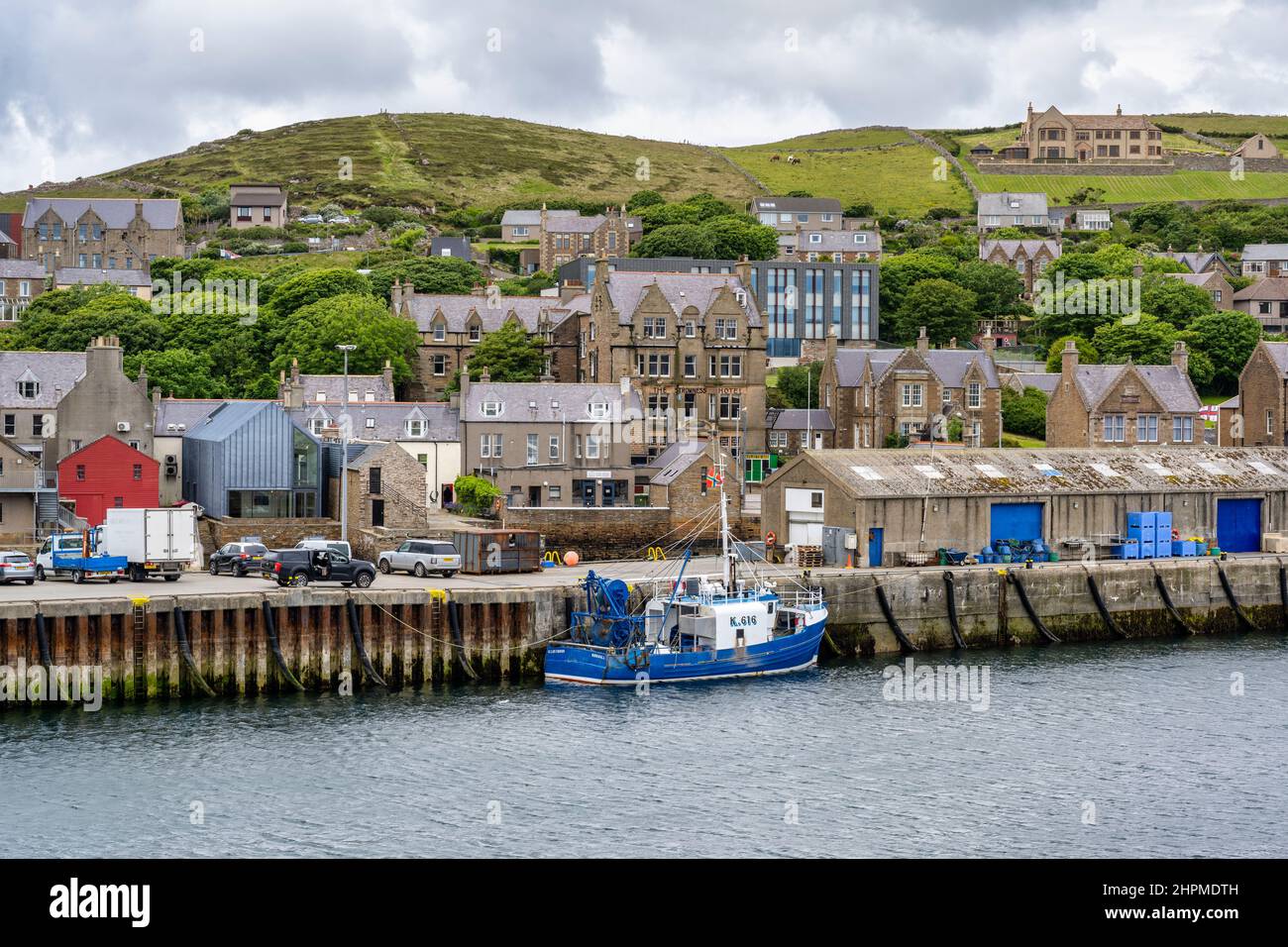
Stromness, Links Battery is a coastal battery in Orkney Islands, Scotland.
Places near here
Photo credits
- N Chadwick, Wikimedia Commons · CC BY-SA 2.0
- Maker not stated on source page, www.alamy.com
- Colin Smith, Wikimedia Commons · CC BY-SA 2.0
- Bill Boaden, Wikimedia Commons · CC BY-SA 2.0
- John Lucas, Wikimedia Commons · CC BY-SA 2.0
- Carroll Pierce, Wikimedia Commons · CC BY-SA 2.0
- Nick Mutton 01329 000000, Wikimedia Commons · CC BY-SA 2.0
- Maker not stated on source page, www.pinterest.com
- Richard Webb, Wikimedia Commons · CC BY-SA 2.0
 Stromness Golf CourseLong Cist(s) (early Medieval) · 273 yd
 Harriet Wild: Stromness Harbour Entrance, Orkney, AtlanticCraft (19th Century) · 422 yd
 Ness RoadCulvert (post Medieval), Wall(s) (18th Century) · 495 yd
 Ness BatteryCoastal Battery (second World War), Coastal Battery(s) (first World War) · 520 yd
 Stromness, 2 Ness RoadHouse · 595 yd
 Stromness, 15 Ness Road, Sule Skerry Lighthouse StationLighthouse Shore Station (19th Century) · 634 yd
 Stromness, South End, Firth's ParkCist (prehistoric), Textile (prehistoric) · 798 yd
 Logins WellMemorial · 838 yd
 Telephone box outside Stromness MuseumHeritage place · 893 yd
 Christine: Stromness Harbour, Scapa Flow, OrkneyCraft (19th Century) · 909 yd
 Stromness Ferry TerminalVisitor information · 1695 yd
 Sandy HillMountain / peak · 1.1 mi
More archaeology and monuments in Orkney Islands · All of Orkney Islands

What do you know about this place?Tap to add a comment or ask a question