What is recorded here
In gently undulating pasture, on the S side of a stream. The remains of a rectangular house (ext: 13.29m NE-SW; 6.18m NW-SE) of which only the SW gable now stands above basement level. This shows the house had two storeys with an attic and a basement. It is of random rubble limestone construction (wall T 0.64m). The gable survives to full height, with very short returns (L c. 2m) of the NW and SE sidewalls. There is a wide internally projecting (Wth 4.9m) chimney stack rising the full height of the gable, narrowing above roof-level to a plain rectangular stack. At each floor level is a pair of brick-arched fireplaces. Also at each level is a window ope either side of the stack. The basement wall (ext: 13.29m NE-SW) on the SE side survives and has three blocked window opes. The foundations of the NW wall are evident. The interior is filled with mounds of grass-covered rubble and the NE end is quarried out. The walls of a three-storey lean-to structure stand immediately outside the SW gable. The fragmentary remains of farm buildings and the foundations of a circular structure (int. diam. 2m) lie immediately to the NE. A wide causeway bridge (Wth 6m), with a small stone arch, crosses the stream a short distance to the NE. There is also a narrow segmental-arched footbridge (Wth 0.85m) upstream to NW. According to local information, the house is known as 'Streamstown Castle'. It is shown as an inhabited house, named 'Streamstown Ho.' and surrounded by a small demesne, on the 1838 OS 6-inch map. The surviving remains are late-17th/early-18th century in appearance. A rath (SL032-086----) lies c. 90m to SSE and the site of a mill (SL032-084----) c. 100m to N.
The above description is derived from the published 'Archaeological Inventory of County Sligo' compiled by Ursula Egan, Elizabeth Byrne, Mary Sleeman with Sheila Ronan and Connie Murphy (Dublin Stationery Office, 2005).
Date of upload: 18 January 2008
The monument record does not grant public access. Check the route and ask the landowner before entering private land.
- What survives
- Recorded monument
Places near here
 IndicatedEnclosure · 329 yd
 Indicated (1838).Fairy fort / earthen ringfort · 681 yd
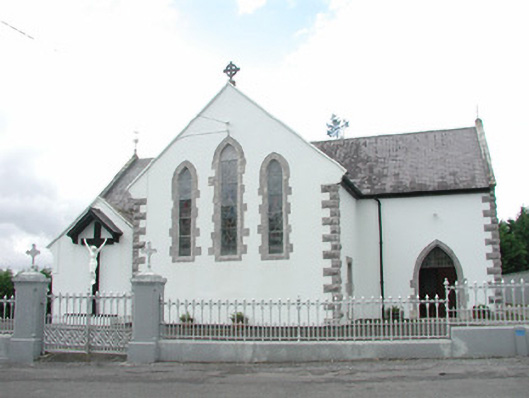 Catholic Church of the Sacred Heartchurch/chapel · 1216 yd
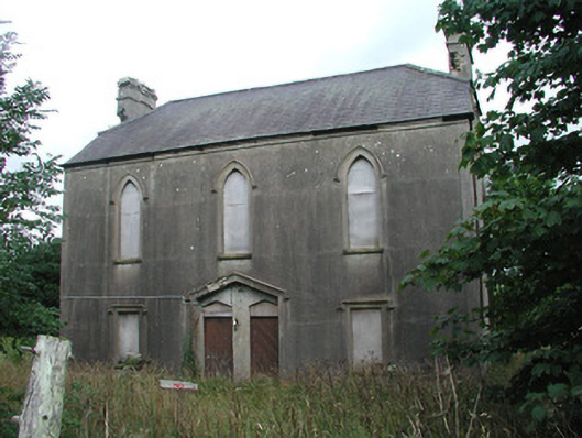 Achonry Parochial Hallchurch hall/parish hall · 1318 yd
 CastleCastle, unclassified · 1653 yd
 Muckelty HillMountain / peak · 1.5 mi
 KnocknasheeMountain / peak · 1.5 mi
 European ashEuropean ash · 3.5 mi
 ElderElder · 3.7 mi
 Castle (in Ruins)Castle, tower house · 3.9 mi
 The Turf Stack RockNamed rock · 5.7 mi
 Old Cave Burial GroundArchaeological place · 7.6 mi