What is recorded here
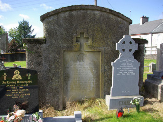
Graveyard (on irregular-plan), originally laid out c. 1820. Formerly also the site of Stranorlar Catholic church, built c. 1820, and demolished c. 1870 following the construction of Church of Mary Immaculate\St. Mary’s Catholic church (see 40838023) to the south-west. Collection of upstanding, recumbent and table-type gravemarkers of mainly late nineteenth and twentieth-century date, some with metal railed enclosures. Site surrounded by roughcast rendered rubble stone walls, exposed rubble stone to the southern boundary. Main gateway to the north of site comprising a pair of squared and coursed rubble stone gate piers (on square-plan) with capstones and a pair of modern metal gates. Located to the north of the centre of Stranorlar, and to north-east of Ballybofey.
This simple graveyard is an integral element of the social history of the Stranorlar area. It contains an interesting collection of gravemarkers of upstanding, recumbent and table types some of which are fine cut stone examples (including a number of Celtic high cross-type memorials) that are clearly the work of skilled craftsmen. A number of grave also have metal railed enclosures, which adds additional interest to this unassuming site. This graveyard is also the site of the former Catholic church in Stranorlar, which was in existence in 1824 (Pigot’s Directory), and which was demolished c. 1870 following the completion of the impressive Church of Mary Immaculate\St. Mary’s church (see 40838023) to the south-west. This church was built to a cruciform-plan (Ordnance Survey first edition six-inch map of 1837). This site is an interesting feature to the north of the centre of Stranorlar. The simple rubble stone boundary walls and the gate piers to the north, add to the setting and context.
This does not grant access. Most recorded buildings are privately owned; view them only from public ground unless the owner allows entry.
Places near here
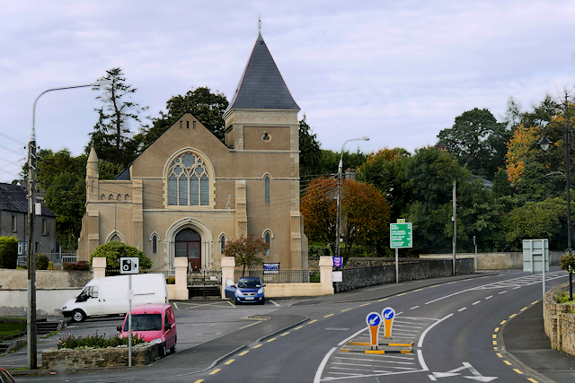 Stranorlar Presbyterian Churchchurch/chapel · 95 yd
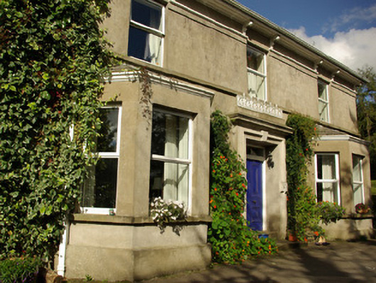 mansemanse · 153 yd
 Enclosure in Glebe (stranorlar Ed)Enclosure · 483 yd
 Fairy fort / earthen ringfort in AdmiranFairy fort / earthen ringfort · 577 yd
 Drumboe WoodForest recreation place · 642 yd
 Castle (Site of)Castle, unclassified · 1.8 mi
 Site of CastleCastle, unclassified · 3.8 mi
 Gorey HillMountain / peak · 4.0 mi
 Lismullyduff MountainMountain / peak · 4.2 mi
 Newmills Corn and Flax MillsHeritage attraction · 8.6 mi
 Battle of Scarrifholisbattle · 8.8 mi
 Killeter ForestForest · 9.2 mi
Other information
Photo: National Inventory of Architectural Heritage · Website use allowed for educational or private purposes with source credit