What is recorded here
An oval-shaped cairn or mound 12.9m NE-SW, 7.3m wide and 1.75m high. Field clearance stones have been added to the N end. It is situated on pasture land.
The above description was derived from the 'Archaeological Survey of County Donegal. A description of the field antiquities of the County from the Mesolithic Period to the 17th century.' Compiled by: Brian Lacey with Eamon Cody, Claire Cotter, Judy Cuppage, Noel Dunne, Vincent Hurley, Celie O'Rahilly, Paul Walsh and Seán Ó Nualláin (Lifford: Donegal County Council, 1983). In certain instances the entries have been revised and updated.
Date of upload: 22 September 2008
Neolithic passage tomb; dates to the earlier part of the 4th millennium BCE. Its construction reflects early megalithic traditions in the region, though its specific cultural or ritual significance remains unrecorded.
The monument record does not grant public access. Check the route and ask the landowner before entering private land.
- What survives
- Recorded monument
Places near here
 Ritual siteRitual site, holy/saint's stone · 209 yd
 Clonmany Early Church GraveyardGraveyard · 219 yd
 Clonmany Church of Ireland Parish Churchchurch/chapel · 233 yd
 Clonmany ChurchChurch · 233 yd
 Glenevin Waterfall WalkOfficial walking route · 844 yd
 Straid Stone RingfortFairy fort / stone ringfort · 1019 yd
 Glenevin WaterfallWaterfall · 1263 yd
 Glenevin Waterfall, Clonmanywaterfall · 1263 yd
 Raghtin MoreMountain / peak · 1.7 mi
 Glendowen craft shopHeritage attraction · 2.3 mi
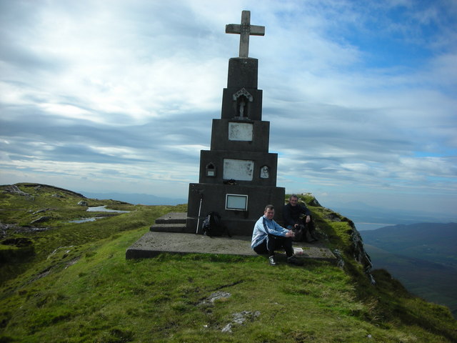 BulbinMountain / peak · 2.7 mi
 Gap of Mamore ViewpointViewpoint · 3.3 mi