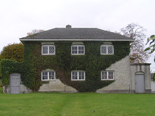
What is recorded here
Detached three-bay two-storey building, c.1825, originally accommodating bank and school with single-bay single-storey mono-pitched flanking entrance bays. Reroofed, c.1950. In residential use, 1973. Now disused. Hipped roof with replacement artificial slate, c.1950, clay ridge tiles, rendered chimney stack, and no rainwater goods on overhanging timber eaves. Mono-pitched slate roofs to entrance bays behind parapets with no rainwater goods surviving on squared rubble stone eaves. Mostly ivy-clad unpainted roughcast walls over random rubble stone construction with sections of red brick irregular bond construction, and cut-stone coping to parapets. Square-headed window openings (most in bipartite arrangement; in camber-headed recesses to first floor) with cut-stone flush shallow sills, two-over-two timber sash windows, and timber casement windows to outer bays to first floor having lattice glazing. Square-headed door openings in camber-headed recesses with timber panelled and timber boarded doors. Set back from road in own grounds with landscaped grounds to site having random rubble stone boundary wall, and wrought iron gate.
A pleasing middle-size building reminiscent in terms of form and massing of an early nineteenth-century courthouse standard associated with William Caldbeck (c.1824-1872) (see Urlingford Public Library (Urlingford Courthouse) (12304009/KK-12-04-09) and Callan Courthouse (12314005/KK-26-14-05)). However, the building remains of particular interest for the disparate functions originally accommodated within as indicated by archival editions of the Ordnance Survey: it is possible that the commercial proceeds from the bank were originally used to fund the school hence both institutions being housed in a single unit while the entire enterprise may have been initiated by the Flood family of Flood Hall (House) (12402726/KK-27-26). A variety of glazing patterns to the window openings serve to enliven the architectural design value of the composition while the survival of substantial quantities of the historic fabric enhances the character of the site in the townscape.
This does not grant access. Most recorded buildings are privately owned; view them only from public ground unless the owner allows entry.
Places near here
 Site of Village Well 1810-1950Memorial · 149 yd
 Site of Lee's ForgeMemorial · 183 yd
 Saint Brendan's Catholic Churchchurch/chapel · 195 yd
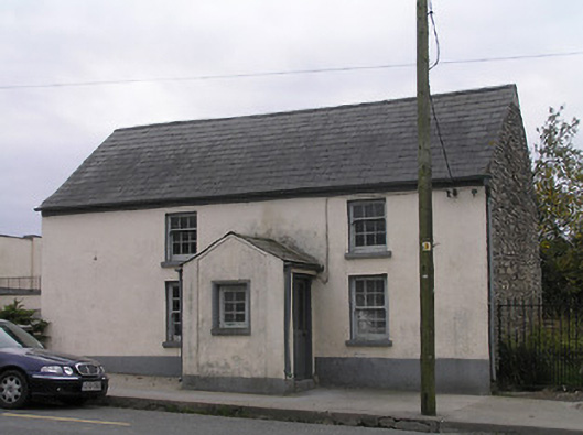 unknownunknown · 198 yd
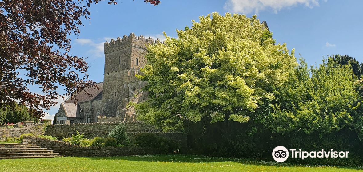 Enclosure in BallycoamEnclosure · 788 yd
 Enclosure in CotterellsboolyEnclosure · 1020 yd
 Coortaur Castle (in ruins)Castle, unclassified · 1608 yd
 CastleCastle, unclassified · 1.5 mi
 Pedunculate OakPedunculate Oak · 1.7 mi
 Kells Augustinian PrioryHeritage attraction · 1.8 mi
 Turkey OakTurkey Oak · 1.9 mi
 Kells Loop WalkWalking route · 2.0 mi
Other information
Photo: National Inventory of Architectural Heritage · Website use allowed for educational or private purposes with source credit