What is recorded here
In pasture, on N-facing slope. Marked as 'Cromlech' on 1842, 1904 and 1938 OS 6-inch maps. Stones removed; no visible surface trace of sites. de Valera and O Nualláin (1982, 44, no. 6) recorded two stones standing in line N-S, 1m apart, and measuring 0.65m L by 0.25m T by 1m H and 0.7m L by 0.5m T by 1.1m H, respectively; third stone lies prostrate 1.45m to W of S stone.
The above description is derived from the published 'Archaeological Inventory of County Cork. Volume 3: Mid Cork' (Dublin: Stationery Office, 1997). In certain instances the entries have been revised and updated in the light of recent research.
Date of upload/revision: 14 January 2009
Likely dating to the Neolithic or Bronze Age, the stone row in Lyradane may have had ceremonial or astronomical significance, as was common with such alignments. The term 'cromlech' historically referred to stone circles or rows, though no visible remains now exist.
The monument record does not grant public access. Check the route and ask the landowner before entering private land.
- What survives
- Recorded monument
Places near here
 Lyradane MountainMountain / peak · 854 yd
 Rock HillMountain / peak · 1555 yd
 Grave Yard (Disused)Graveyard · 1618 yd
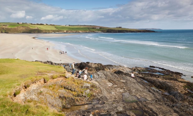 Mound in Kilquane (barretts By.)Mound · 1663 yd
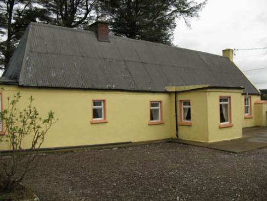 farm housefarm house · 1.2 mi
 Castle (Site of)Castle, Anglo-Norman masonry castle · 1.4 mi
 IndicatedKiln, lime · 2.0 mi
 Castle Barrett (in Ruins)Castle, Anglo-Norman masonry castle · 3.4 mi
 St John's WellSpring · 4.0 mi
 Pairc Ath Na hEornaMemorial · 4.2 mi
 New TipperaryVisitor information · 4.5 mi
 Graveyard in KilmonaGraveyard · 4.5 mi