
What is recorded here
Map note: Stone row in Killadangan appears on the map as a stone row around Killadangan, County Mayo, Ireland. See what else is recorded around this spot before making up the rest.
From the National Monuments Service (Archaeological Survey of Ireland) record MA087-014002
Places near here
Photo credits
- National Inventory of Architectural Heritage
- A.-K. D., Wikimedia Commons · CC0
- Graham Horn, Geograph · CC BY-SA 2.0
- Eric Jones, Geograph · CC BY-SA 2.0
- Colin Park, Geograph · CC BY-SA 2.0
- Oliver Dixon, Geograph · CC BY-SA 2.0
- EamonnPKeane at English Wikipedia, Wikimedia Commons · Public domain
- Maker named on the Wikimedia Commons picture page · Public domain
- Ridiculopathy, Wikimedia Commons · CC0
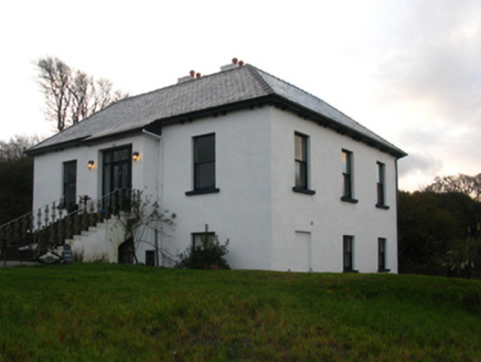 Killadangan HouseHouse · 443 yd
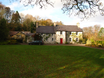 Prospect HouseFarm house · 1637 yd
 National Famine MemorialHeritage attraction · 1.5 mi
 Crott MountainMountain / peak · 1.6 mi
 Croagh Patrick Pilgrim TrailWalking route · 1.6 mi
 InishraherIslet · 1.9 mi
 InishdaughIslet · 2.3 mi
 Brackloon WoodsForest · 2.3 mi
 Croagh PatrickMountain / peak · 2.7 mi
 Leaba PatrickMemorial · 2.7 mi
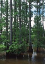 Baldcypress3.0 mi
Explorer Tom Baldcypress has a secret talent for looking like it's judging your life choices from across the field. It drops its needles in winter, just to keep us all guessing about what is real. Walk past slowly like you're in a film.
 Boheh StoneArchaeological place · 3.1 mi
More archaeology and monuments in County Mayo · All of County Mayo

What do you know about this place?Tap to add a comment or ask a question