What is recorded here
This stone row, not marked on the OS maps, is located on gently sloping pasture, from where there are fine views over an expansive bog to Portmagee Channel and Valencia Island at N. It once comprised three stones, but one was removed to free a trapped animal (local information). The original position of the latter stone is unknown. The two remaining stones are aligned N-S. That at S stands 1.65m high, and measures 1.05m x .5m at base. The second stone, 1.45m to the N, stands 1.6m high and measures .7m x .45m at base (Ó Nualláin 1988, 252).
The above description is derived from A. O'Sullivan and J. Sheehan (compilers), 'The Iveragh peninsula: an archaeological survey of South Kerry'. Cork University Press (1996), no. 110. In certain instances the entries have been revised and updated in the light of recent research.
Date of upload: 28 July 2013
This stone row likely dates to the Neolithic or Bronze Age and may have had ceremonial or astronomical significance, given its alignment and location offering wide views. Such arrangements are often associated with ritual activity or territorial markers in prehistoric landscapes.
The monument record does not grant public access. Check the route and ask the landowner before entering private land.
- What survives
- Recorded monument
Places near here
 Hut site in Formaoil (tc Trian Iarthach)Hut site · 128 yd
 Indicated (1846).Fairy fort / earthen ringfort · 1700 yd
 Fermoyle Castle (in Ruins)Castle, tower house · 1.1 mi
 Emlagh LoopWalking route · 2.5 mi
 Waterville Beach (Reenore) HotelRuins · 2.7 mi
 Reenrow BeachBeach / strand · 2.9 mi
 Kineigh Househouse · 2.9 mi
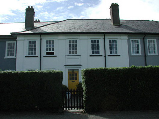 worker's houseworker's house · 3.1 mi
 Laharn Bog LoopWalking route · 3.6 mi
 FoilcloghMountain / peak · 3.7 mi
 Kilbeg MountainMountain / peak · 3.8 mi
 Chilean myrtleChilean myrtle · 4.2 mi