What is recorded here
Located in a commanding position on the lower SW slopes of Knocklomena mountain and overlooking the valley of the Kealduff river to W, this stone row, not marked on the OS maps, is divided by a field boundary. It consists of three stones orientated NNW-SSE, the northernmost of which lies prostrate on one side of the boundary. Positioned 2.6m apart, the upright stones are rectangular in elevation and measure 1.2m x .7m x .65m and 1m x .9m x .66m; the latter stone is partly incorporated into the field boundary. The prostrate stone lies 2m to NNW and measures 1.5m x .68m x .55m; between it and the field boundary lie two smaller prostrate slabs, whose significance is unclear.
The above description is derived from A. O'Sullivan and J. Sheehan (compilers), 'The Iveragh peninsula: an archaeological survey of South Kerry'. Cork University Press (1996), no. 104. In certain instances the entries have been revised and updated in the light of recent research.
Date of upload: 28 July 2013
Likely dating to the Neolithic or Bronze Age, the stone row in Derrylicka may have had ceremonial or ritual significance, possibly aligning with celestial events or marking territorial boundaries. Such features are often associated with early farming communities and their spiritual practices.
The monument record does not grant public access. Check the route and ask the landowner before entering private land.
- What survives
- Recorded monument
Places near here
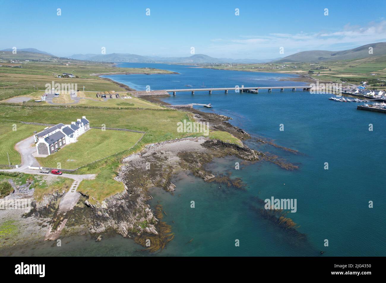 Fulacht fia in Derrygarrane NorthFulacht fia · 1205 yd
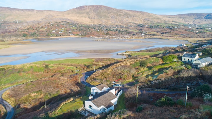 Hut site in Gearha NorthHut site · 1263 yd
 KnocklomenaMountain / peak · 1.1 mi
 An Cnoc RiabhachMountain / peak · 1.7 mi
 Ballaghbeama GapViewpoint · 2.4 mi
 Blackwater Cottagehouse · 4.4 mi
 Blackwater Bridgebridge · 4.4 mi
 Eirk Bog Nature ReserveNature reserve · 4.7 mi
 Dromore CastleCastle · 4.7 mi
 Moll's GapViewpoint · 4.9 mi
 Lackeen PointHeadland · 4.9 mi
 Cappanacush Castle (ruins)Castle · 5.0 mi