What is recorded here
This site is located on the crest of a NE-SW ridge which is flanked on W and S by the Bunnow river and overlooks Kenmare Bay to S. It consists of a three-stone row, 5.1m to NE of which is an enclosure. The stone row is 3.1m long and is orientated NE-SW. The stone at NE stands 1.7m high, inclines slightly to SW, and measures .45m x .2m at base. The second stone, .45m to the SW, leans heavily to NW; it measures 1.3m x .54m x .3m. A large prostrate stone, 2.35m x .6m x .4m, lies 1.05m to SW. When erect, it may have been the tallest stone in the row.
The adjacent enclosure may be a kerb circle, as defined by Lynch (1979, 2). It is a roughly circular area, 7.25m N-S x 6.7m E-W, which is delineated by a kerb of contiguous upright slabs enclosing a low pile of boulders, small stones and quartz. The orthostats, many of which incline outwardly, average .9m high and .8m x .2m at base. A field boundary incorporates some of the slabs at SW, and a gap at NW is obscured by overgrowth. The enclosure is marked 'Killeen Burial Ground' on both editions of the OS maps.
It is locally reputed that a rock with 'ancient writing' is located in the vicinity of the stone row. A search for this potential monument proved unsuccessful
The above description is derived from A. O'Sullivan and J. Sheehan (compilers), 'The Iveragh peninsula: an archaeological survey of South Kerry'. Cork University Press (1996), no. 101. In certain instances the entries have been revised and updated in the light of recent research.
Date of upload: 28 July 2013
The monument record does not grant public access. Check the route and ask the landowner before entering private land.
- What survives
- Recorded monument
Places near here
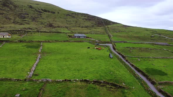 Man-made underground passage in Glanlough LowerMan-made underground passage · 555 yd
 Man-made underground passage in ArdmoreMan-made underground passage · 1125 yd
 IllaundraneIslet · 1.2 mi
 Coral BeachBeach / strand · 1.8 mi
 An Bheann MhórMountain / peak · 1.9 mi
 2Cliff · 1.9 mi
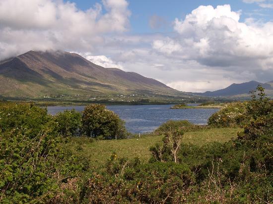 Eisc na LeathógMountain / peak · 2.0 mi
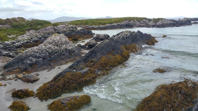 White StrandBeach / strand · 2.5 mi
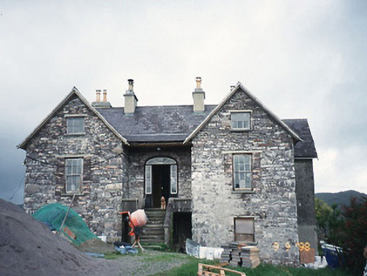 Scart Househouse · 2.5 mi
 Cowlagh (in Ruins)Church · 2.5 mi
 Castle Cove (in Ruins)Castle, tower house · 2.9 mi
 Sherky IslandIslet · 3.4 mi