
What is recorded here
One tree still stands in the south-eastern corner of Lough Rea, apparently growing from open water while its roots hold a drowned stone crannog beneath the surface. That hidden island belongs to the cluster called Stone Islands South, a small human-made place where lake life may have continued long before the water rose around it. The tree does not decorate the scene; it remembers the shape of the lost place, marking what the eye alone would have forgotten.
Stone Islands South is recorded as a islet in County Galway. Its open map record supplies this location and any linked names or public references.
Places near here
 Long PointHeadland · 391 yd
 Island McCooIslet · 494 yd
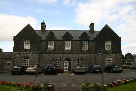 Saint Brendan's Hospitalworkhouse · 932 yd
 LisduffFairy fort / earthen ringfort · 1020 yd
 Enclosure in Grange (loughrea By.)Enclosure · 1381 yd
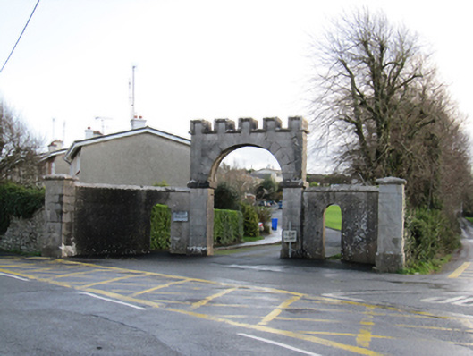 Mount Pleasantgates/railings/walls · 1531 yd
 Ash IslandIslet · 1630 yd
 Ballygasty Castle in ruinsCastle, unclassified · 2.3 mi
 Site of CastleCastle, unclassified · 2.6 mi
 Dartfield Horse MuseumHeritage attraction · 4.5 mi
 Scalpeen RockNamed rock · 4.8 mi
 Turoe StoneHeritage attraction · 4.8 mi
Other information
Photo: Credit not shown in the picture search · Rights wording not checked; contact us if this picture should be removed