What is recorded here
Stone Islands South is a submerged crannog in Lough Rea, County Galway, hiding 1.3 metres beneath the water with a single tree marking its position. The 1838 and 1929 maps named the reef, capturing a stone island that time has pulled under the lake. It may have been a home, a shrine or a boundary marker before the water rose, but the lake keeps that answer locked inside its dark depth.
Located within the SE sector of Lough Rea and one of a group of three of small reefs, running NE-SW, named 'Stone Islands South' on the 1838 edition and 1929 revision of the OS 6-inch map. This crannog (c. 16.7m E-W; c. 12.5m N-S) is the most north easterly reef and it is constructed of stone similar to other crannogs in the lake (see also GA105-198----, GA105-198001-, GA105-198002- and GA105-198003-). It is 1.3m below the surface of the water and its only visible indication is a single tree (information from K. McDonald).
Compiled by: Olive Alcock
Date of upload: 9 January 2019
The monument record does not grant public access. Check the route and ask the landowner before entering private land.
- What survives
- Recorded monument
Places near here
 Stone Islands SouthIslet · 73 yd
 Long PointHeadland · 353 yd
 Island McCooIslet · 540 yd
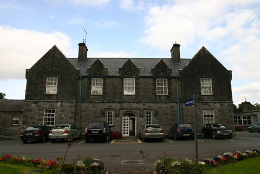 Saint Brendan's Hospitalworkhouse · 882 yd
 LisduffFairy fort / earthen ringfort · 1091 yd
 Enclosure in Grange (loughrea By.)Enclosure · 1448 yd
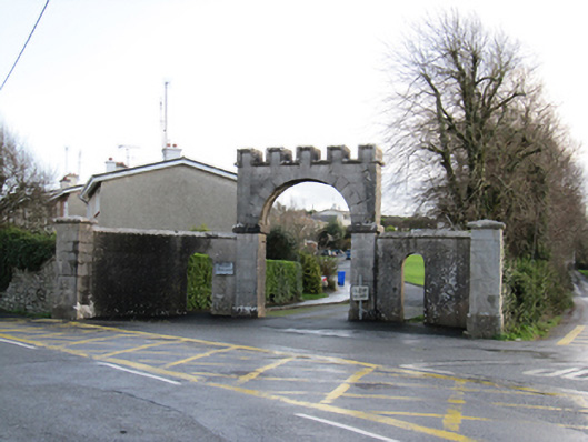 Mount Pleasantgates/railings/walls · 1466 yd
 Ballygasty Castle in ruinsCastle, unclassified · 2.3 mi
 Site of CastleCastle, unclassified · 2.6 mi
 Dartfield Horse MuseumHeritage attraction · 4.4 mi
 Turoe StoneHeritage attraction · 4.8 mi
 Scalpeen RockNamed rock · 4.8 mi