What is recorded here
Situated against the W road bank of the R162 Nobber to Kingscourt road. They are described as ‘Stone Crosses’ in italic script on the 1836 and 1908 editions of the OS 6-inch map. There are four crude disc-headed or penal-style crosses (H c. 0.3-0.4m; span c. 0.3-0.4m), roughly formed and with no inscriptions. They are probably eighteenth century in date, and it is thought locally that they mark the graves of croppies from 1798.
The above description is derived from the published 'Archaeological Inventory of County Meath' (Dublin: Stationery Office, 1987). In certain instances the entries have been revised and updated in the light of recent research.
Compiled by: Michael Moore
Date of revision: 4 September 2018
The monument record does not grant public access. Check the route and ask the landowner before entering private land.
- What survives
- Recorded monument
Places near here
 LisnamuckFairy fort / earthen ringfort · 184 yd
 LisbaneFairy fort / earthen ringfort · 248 yd
 White WoodForest · 852 yd
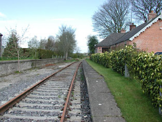 rails (section of)rails (section of) · 1234 yd
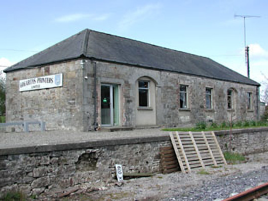 Kilmainham Wood Railway Stationstore/warehouse · 1243 yd
 GNR Christmas TreesForest · 1489 yd
 Gallows HillMountain / peak · 1.5 mi
 MoatCastle, motte and bailey · 2.0 mi
 Nobber GreenwayMemorial · 2.2 mi
 Cloghreagh Castle in RuinsCastle, unclassified · 2.8 mi
 Ugly HillMountain / peak · 3.6 mi
 Owenroe and Moynalty DrainageMemorial · 4.4 mi