What is recorded here
National monument No. 247. Situated at the base of the W facing slope on the Hill of Knockderc/Knockderk with good views of the surrounding countryside. Depicted as a conjoined setting of stones forming two C-shaped areas open to E and annotated as 'Stone Circles' on the 25-inch OS map. In 1833 the presence of possible stone circles was recorded as following; 'Along the road leading from its Cross towards Kilmallock, other circles and Druidical works are obvious, under a hill called Knockderk, marked Q in the plan' (Croker 1833, 112). In 1913 Lynch recorded that 'the stone circles at the foot of Knockderk, described by Crofton Croker in his article on Lough Gur, are there still' (Lynch 1913, 19).
O'Kelly doubted the existence of these stone circles when he recorded the following about the monument on Knockderc Hill; 'There are four circles marked on the O.S. map on this hill. Three are on the W base and one on the top near the highest point. In fact, they do not exist and it is doubtful if they ever did exist. the site on top of the hill shows some ancient field fences and a rather doubtful circular enclosure, but there is no trace of a stone circle. The W base of the hill is strewn all over with large blocks of basaltic rock which have rolled down from higher up. If one selects suitable stone from among these and eliminates others, any number of circles can be formed. It must have been in this way that three circles came to be marked on the O.S. map' (O'Kelly 1944, 31).
Compiled by: Caimin O'Brien
Date of upload: 25 May 2018
See attached ASI aerial photograph ASIAP - 303/28 and 29 taken 13/09/2002.
Date likely to the Bronze Age (c. 2500–500 BCE), based on the form of stone circles in Ireland. Such sites may have had ceremonial, astronomical, or territorial significance, though specific meaning or folklore for this site is not recorded.
This remains an important historical record, but the official description says the monument is no longer visible or has been destroyed. The monument record does not grant public access. Check the route and ask the landowner before entering private land.
- What survives
- No visible remains or recorded as destroyed
Places near here
 Field system in PatrickswellField system · 293 yd
 Grave YardGraveyard · 614 yd
 Glen BogForest · 645 yd
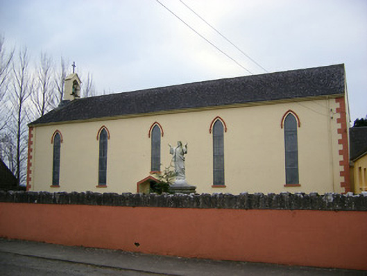 Saint Patrick's Catholic Churchchurch/chapel · 1163 yd
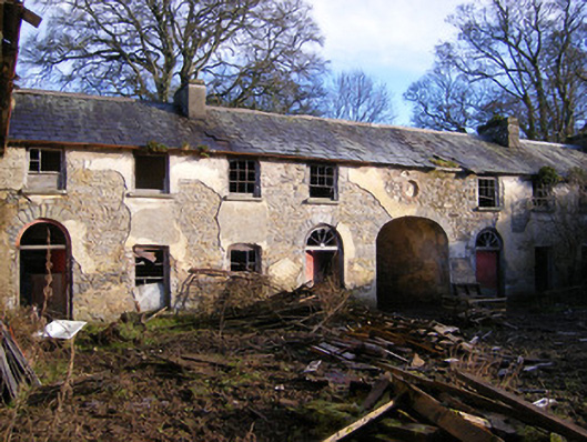 Kilballyowen Houseoutbuilding, stables · 1736 yd
 Bawn in Ballinscoola (smallcounty By., Cahercorney Ed)Bawn · 1.2 mi
 Black Castle (in ruins)Castle, tower house · 1.4 mi
 Pedunculate OakPedunculate Oak · 1.7 mi
 Grange Stone CircleArchaeological place · 1.8 mi
 Lough GurVisitor information · 1.8 mi
 KnockainyMountain / peak · 1.9 mi
 Lough Gur Heritage CentreVisitor information · 1.9 mi