What is recorded here
Seventy-two stones once ringed a fifty-yard circle beside Lough Gur, but greed and road-building reduced them to a handful of markers buried in a field boundary. The loss feels like a wound in the grass, yet the remaining stones still hold the shape of that forgotten gathering place.
National monument No. 247. Situated in grassland ground 370m W of Lough Gur and surrounded by a cluster of prehistoric monuments. Stone circle (LI032-006----) immediately to NNE, a trackway running NW-SE known as Cladh na Leac (LI032-010001-) 215m to E, large embanked stone circle (LI032-004001----) immediately to S, site of standing stone known as Cloch á Bhíle (LI032-007----) 160m to SSE, site of Giant's Grave (LI032-010003-) possibly a megalithic structure 310m to SSE, site of a possible megalithic tomb/portal tomb (LI032-004002-) immediately to SSW, a trapezoidal setting of stones (LI032-002----) annotated as a 'Stone Avenue' which may be remains of a court tomb (Cooney and Grogan 1994, 64-5; Cleary 2015, 51) standing beside an embanked stone circle (LI032-003---) 70m to W.
Depicted on first ed. OS 6-inch map as a semi-circular shaped area delimited by orthostats standing on the edge of a platform or low rise of ground. At least three stones of the circle survive today incorporated into the W field boundary that was a roadway on the first ed. OS 6-inch map. These surviving stones are depicted on the 25-inch OS map. The Ordnance Survey 6-inch map has incorrectly marked the location of this stone circle. Based on 19th century antiquarian reports the monument consisted of a circular-shaped area (diam. 52m) delimited by seventy-two orthostats the majority of which were removed in the 1830s. On the first ed. OS 6-inch map the stone circle is incomplete as it was intersected at W by a roadway running N-S which today survives as a field boundary. A line of roadside buildings are depicted on the E side, the remains of which are no longer visible. Originally the stone circle may have extended into the field to the W of this roadway.
The stone circle was described in 1826 as ‘another circle fifty yards in diameter, consisting of seventy-two smaller stones standing’ (Fitzgerald ad McGregor 1826, 298). In 1840 the Ordnance Survey letters described the monument as following; ‘Fifty feet [15m] southwest of this circle [LI032-006----] there is a second, measuring one hundred and sixty feet [49m] in diameter. Sixty stones only are left, in some parts standing quite close together, in others a wide gap between. These stones are all abut three feet [0.9m] in height, and the ground around and within the circle is perfectly level’ (OSL 1840, 249).
By 1895 most of the orhtostats had been removed and the stone circle was now described as; '‘About thirty yards due north of the chief circle [LI032-004001-] there is another circle with a diameter of one hundred and seventy feet [52m]. It has no rath, and only six pillar stones are left. In Fitzgerald's time [1820s] there were seventy-two stones in this circle, but about sixty-five years ago [1830s] it was destroyed by Mr. Edward Croker, of Grange. Ten yards east of this circle, and ninety-three yards from the gate of the chief circle, there is a third circle [LI032-006----], also without a rath’ (Lynch 1895, 300). On the revised 25 inch OS map only four orthostats survive upstanding on the W side of the stone circle.
Compiled by: Caimin O'Brien
Date of upload: 18 May 2018
Probably dating to the Late Neolithic or Early Bronze Age, this hachured stone is likely associated with ritual or ceremonial activity, given its location within a dense cluster of prehistoric monuments. Its positioning near Lough Gur and adjacent to a stone circle suggests it may have been part of a wider ritual landscape linked to seasonal or funerary practices.
This remains an important historical record, but the official description says the monument is no longer visible or has been destroyed. The monument record does not grant public access. Check the route and ask the landowner before entering private land.
- What survives
- No visible remains or recorded as destroyed
Places near here
 Stone AvenueCourt tomb · 97 yd
 Lough GurVisitor information · 101 yd
 Stone CirclesStone circle, embanked · 116 yd
 Grange Stone CircleArchaeological place · 119 yd
 Cladh na LeacRoad, road/trackway · 321 yd
 Bawn in Grange (smallcounty By.)Bawn · 438 yd
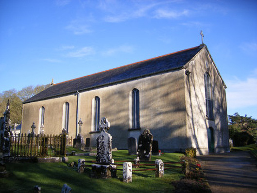 Catholic Church of Saint Patrick and Saint Brigidchurch/chapel · 605 yd
 Garret IslandCastle, unclassified · 807 yd
 Pedunculate OakPedunculate Oak · 1677 yd
 The SpectaclesVisitor information · 1.1 mi
 Lough Gur Heritage CentreVisitor information · 1.1 mi
 Glen BogForest · 2.2 mi