What is recorded here
No visible stones remain at Mullyknock or Topped Mountain, only the memory of a circle hidden beneath grass, soil or forgotten change. The absence does not diminish the claim; it sharpens it. People once arranged stone there, marked the land and left a shape others could recognize. The circle disappeared, but the act of making it still belongs to the place.
The official Northern Ireland record identifies this as STONE CIRCLE (unlocated). Recorded period: PREHISTORIC. The official map point was placed at the centre of the recorded archaeological site from the source map reference.
Likely dating to the Neolithic or Bronze Age, such stone circles were often used for ceremonial, ritual, or astronomical purposes. Their meaning and specific use remain unclear, though they may be linked to seasonal festivals, burial practices, or territorial markers.
The monument record does not grant public access. Check the route and ask the landowner before entering private land.
- What survives
- Recorded monument
Places near here
 Topped MountainMountain / peak · 443 yd
 STONE ENCLOSURE in Mullyknock OR Topped MountainSTONE ENCLOSURE · 774 yd
 OVAL ENCLOSURE in Mullyknock OR Topped MountainOVAL ENCLOSURE · 1050 yd
 Cloghtogle MountainMountain / peak · 1291 yd
 Holy Trinity ChurchChurch · 1.4 mi
 Pubble ForestForest · 1.7 mi
 PENAL CHURCH in BallylucasPENAL CHURCH · 2.0 mi
 Coneyburrow WoodWood · 3.1 mi
 Castle CooleCountry House · 3.4 mi
 The Ice HouseHeritage attraction · 3.4 mi
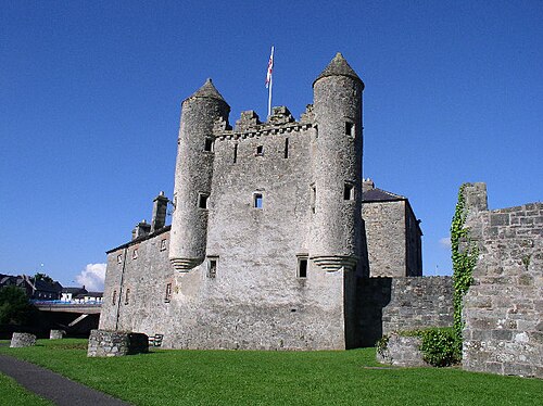 Siege of Enniskillensiege · 4.4 mi
 War MemorialMemorial · 4.4 mi