
What is recorded here
The official Northern Ireland record identifies this as STONE ENCLOSURE. Recorded period: UNCERTAIN. The official map point was placed at the centre of the recorded archaeological site from the source map reference.
A local fairy fort (ringfort/rath); wider significance not recorded.
The monument record does not grant public access. Check the route and ask the landowner before entering private land.
- What survives
- Recorded monument
Places near here
 OVAL ENCLOSURE in Mullyknock OR Topped MountainOVAL ENCLOSURE · 310 yd
 Topped MountainMountain / peak · 528 yd
 Cloghtogle MountainMountain / peak · 1742 yd
 Pubble ForestForest · 1.3 mi
 ENCLOSURE in LargyENCLOSURE · 1.4 mi
 Holy Trinity ChurchChurch · 1.8 mi
 PENAL CHURCH in BallylucasPENAL CHURCH · 2.5 mi
 Coneyburrow WoodWood · 3.5 mi
 Castle CooleCountry House · 3.8 mi
 The Ice HouseHeritage attraction · 3.8 mi
 CASTLE (unlocated) in DrumkeenCASTLE (unlocated) · 4.7 mi
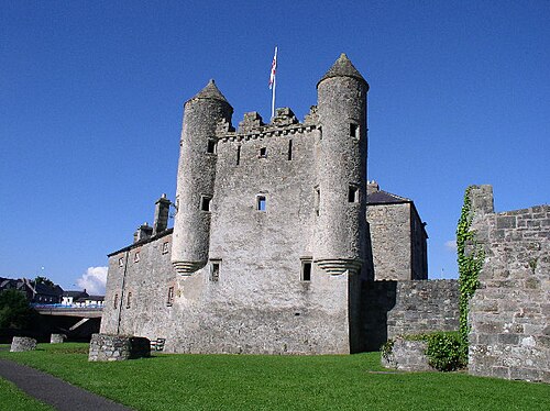 Siege of Enniskillensiege · 4.8 mi
Other information
Photo: Credit not shown in the picture search · Rights wording not checked; contact us if this picture should be removed