What is recorded here
In Bonane Heritage Park, on a break on a SW-facing slope. A circle (diam. 10m) of probably thirteen stones, six of which are upright. The stones measure L 0.75-1.55m; T 0.4-0.8m and H 0.8-1.4m. One of the entrance stones at the NNE, a quartz-veined boulder, has fallen. The other entrance stone (1m x 0.8m; H 1.4m) is the tallest stone. The flat-topped axial stone (1.6m x 0.8m; H 0.8m) stands at SSW. A boulder-burial (KE102-032003-) occupies the centre of the interior. A fulacht fia (KE102-032004-) lies c. 25m to the E.
The above description is derived from the published 'Archaeological Inventory of County Kerry. Volume I: South-West Kerry' (Dublin: Stationery Office, 2009). In certain instances the entries have been revised and updated in the light of recent research.
Date of upload: 30 May 2011
Probably dates to the Neolithic or Bronze Age, given the typical construction of stone circles in these periods. Such circles may have had ceremonial, astronomical, or communal functions, though specific folklore or use for this site is not recorded.
The monument record does not grant public access. Check the route and ask the landowner before entering private land.
- What survives
- Recorded monument
Places near here
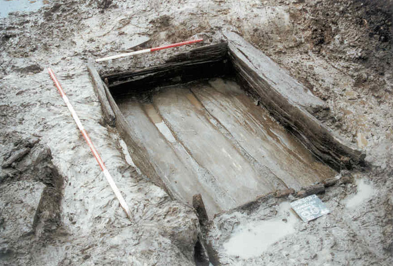 Fulacht FiadhArchaeological place · 30 yd
 Famine RuinRuins · 49 yd
 Bullaun StoneHeritage attraction · 173 yd
 Bonane Heritage ParkMuseum · 298 yd
 IndicatedEnclosure · 401 yd
 Dromagorteen Br.Bridge · 800 yd
 BeneenMountain / peak · 1.0 mi
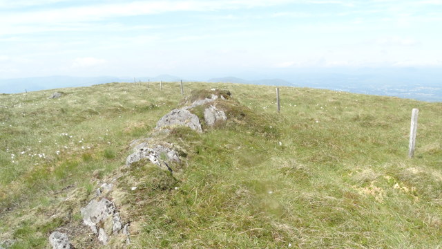 KnocknamanaghMountain / peak · 2.0 mi
 The Priests LeapViewpoint · 3.1 mi
 CaoinkeenCliff · 3.5 mi
 CastleCastle, unclassified · 3.8 mi
 Mucksna Nature ReserveNature reserve · 4.2 mi