What is recorded here
On SW end of ridge comprising Knockaroura. Site very overgrown with furze and heather. Three upright stones set into low curving bank of earth and stone (int. H 0.2m; ext. H 0.7m), enclosing circular area (diam. c. 11.5m) SW->ENE. Stone to SW measures 1m L, 0.3m T and 0.9m H; NNE stone is 0.6m L, 0.2m T and 0.8m H; stone to ESE is 0.5m L, 0.1m T and 0.75m H. Exact nature of site uncertain. Cairn with radial-stone setting (9828) 550m to NE. (Conlon 1916, 63-4, no. 15)
The above description is derived from the published 'Archaeological Inventory of County Cork. Volume 4: North Cork' (Dublin: Stationery Office, 2000). In certain instances the entries have been revised and updated in the light of recent research.
Date of upload/revision: 14 January 2009
The monument record does not grant public access. Check the route and ask the landowner before entering private land.
- What survives
- Recorded monument
Places near here
 KnockarouraForest · 90 yd
 CairnCairn, radial-stone cairn · 601 yd
 Fulacht fia in GortnagraigaFulacht fia · 1262 yd
 StreamfortCountry house · 1368 yd
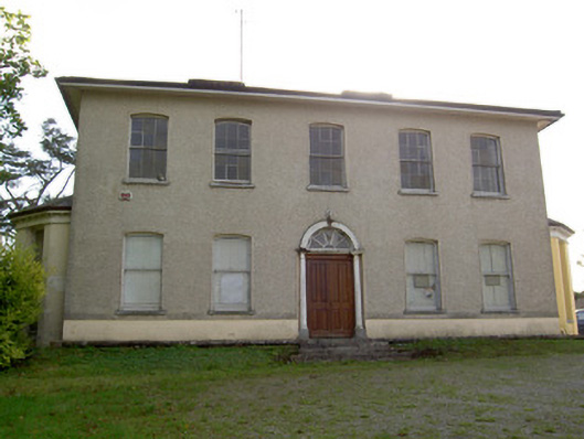 Carrokeal Househouse · 1702 yd
 Mallow Town Park - Maple WoodsForest · 1.4 mi
 Lover's LeapCliff · 1.4 mi
 Lover' LeapCliff · 1.5 mi
 Mallow Castle RuinRuins · 1.5 mi
 Mallow Castle (in Ruins)House, fortified house · 1.5 mi
 Blackwater WayWalking route · 1.8 mi
 Mallow River TrailVisitor information · 1.8 mi