What is recorded here
Not marked on OS 1836 or 1876 eds. This monument is situated on a ridge which has been planted with coniferous trees. Slightly raised circular area (int. dims. 11.8m NE-SW; 10.9m NW-SE) defined by sixteen squat irregularly shaped boulders. There is a large break in the circle from NE-E-ESE and a smaller one from W-WNW-NW. There is an isolated boulder c. 2m SSW of the circle and a second stone within the perimeter at E.
The above description is derived from the published 'Archaeological Inventory of County Cavan' (Dublin: Stationery Office, 1995). In certain instances the entries have been revised and updated in the light of recent research.
Date of upload/revision: 22 December 2008
The monument record does not grant public access. Check the route and ask the landowner before entering private land.
- What survives
- Recorded monument
Places near here
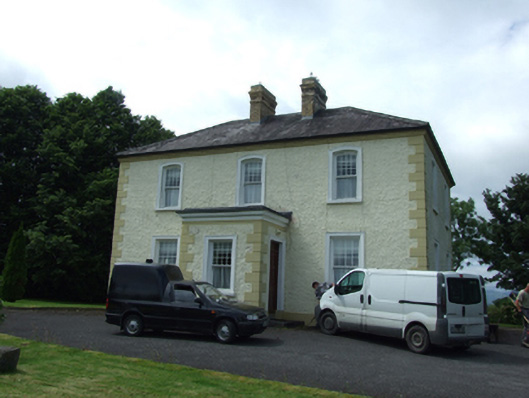 The Presbyterypresbytery/parochial/curate's house · 410 yd
 Tober PatrickHoly well · 436 yd
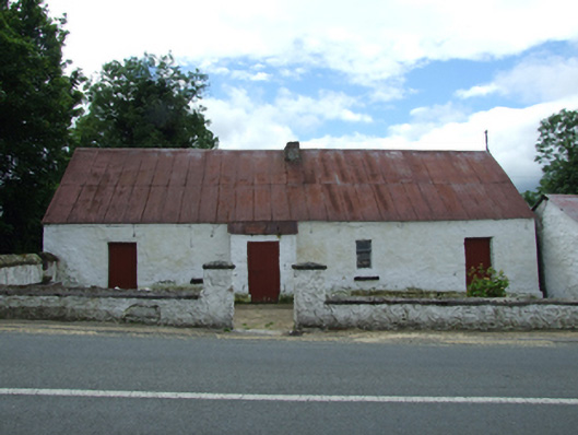 farm housefarm house · 486 yd
 Killycluggin StoneVisitor information · 529 yd
 LissanoverCastle, unclassified · 1179 yd
 IndicatedHilltop enclosure · 1398 yd
 Killarah ForestForest · 1.3 mi
 Bellaheady MountainMountain / peak · 1.4 mi
 Saint Mogue's IslandIslet · 1.4 mi
 Giants GraveArchaeological place · 1.4 mi
 Ballyconnell Log CabinsForest · 1.5 mi
 Bilberry HillMountain / peak · 2.5 mi