What is recorded here
Sixteen squat boulders form an incomplete circle on a conifer ridge in County Cavan, leaving a wide eastern gap that may have marked an entrance or simply collapsed under time. The stones sit slightly raised above the forest floor, with one outlier waiting two metres south and another trapped inside the eastern edge. They resisted mapping in the nineteenth century and still avoid easy explanation, suggesting human hands shaped the ridge long before written memory arrived.
Not marked on OS 1836 or 1876 eds. This monument is situated on a ridge which has been planted with coniferous trees. Slightly raised circular area (int. dims. 11.8m NE-SW; 10.9m NW-SE) defined by sixteen squat irregularly shaped boulders. There is a large break in the circle from NE-E-ESE and a smaller one from W-WNW-NW. There is an isolated boulder c. 2m SSW of the circle and a second stone within the perimeter at E.
The above description is derived from the published 'Archaeological Inventory of County Cavan' (Dublin: Stationery Office, 1995). In certain instances the entries have been revised and updated in the light of recent research.
Date of upload/revision: 22 December 2008
The monument record does not grant public access. Check the route and ask the landowner before entering private land.
- What survives
- Recorded monument
Places near here
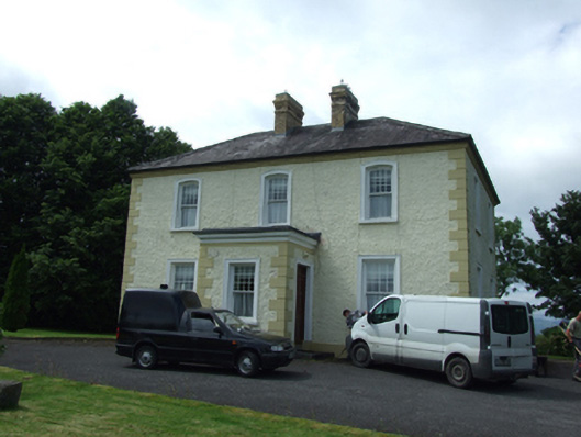 The Presbyterypresbytery/parochial/curate's house · 410 yd
 Tober PatrickHoly well · 436 yd
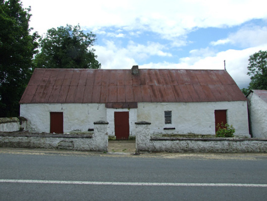 farm housefarm house · 486 yd
 Killycluggin StoneVisitor information · 529 yd
 LissanoverCastle, unclassified · 1179 yd
 IndicatedHilltop enclosure · 1398 yd
 Killarah ForestForest · 1.3 mi
 Bellaheady MountainMountain / peak · 1.4 mi
 Saint Mogue's IslandIslet · 1.4 mi
 Giants GraveArchaeological place · 1.4 mi
 Ballyconnell Log CabinsForest · 1.5 mi
 Bilberry HillMountain / peak · 2.5 mi