What is recorded here
Monument destroyed between 1963 and 1970. It stood on level patch of arable land. Early accounts indicate circle of nine or perhaps eleven stones, c. 9m diam., with internal block near centre (H 0.6m; 0.6m x 0.6m). Orthostats were 0.6m to 1.5m L, 0.2m to 0.6m T and 0.45m to 0.9m H. (O Nualláin 1984a, 13-4, no. 7)
The above description is derived from the published 'Archaeological Inventory of County Cork. Volume 3: Mid Cork' (Dublin: Stationery Office, 1997). In certain instances the entries have been revised and updated in the light of recent research.
Date of upload/revision: 14 January 2009
Likely dating to the Neolithic or Early Bronze Age, the Kilboultragh stone circle may have functioned as a ceremonial or astronomical site. The central block suggests a focal point for ritual activity, though specific folklore or use remains unrecorded.
The monument record does not grant public access. Check the route and ask the landowner before entering private land.
- What survives
- Recorded monument
Places near here
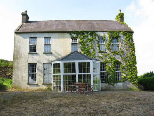 Mount Crosshouse · 758 yd
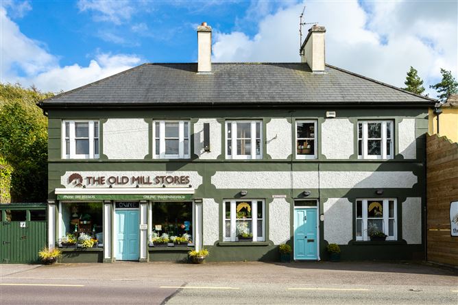 Old MillMill, unclassified · 849 yd
 Neill's WoodWood · 961 yd
 Grave YdGraveyard · 1358 yd
 Man-made underground passage (Site of)Man-made underground passage · 1.0 mi
 Macroom WalksVisitor information · 2.0 mi
 Macroom Castle (in Ruins)Castle, tower house · 2.1 mi
 Curraheen WoodWood · 2.2 mi
 Battle of Macroombattle · 2.2 mi
 Clonavrick CliffCliff · 2.2 mi
 Carrigaphooca CastleCastle · 2.2 mi
 BurrenMountain / peak · 4.0 mi