What is recorded here
National Monument in state ownership No. 531. Listed as a 'stone circle' in the SMR (1986) and as a possible 'stone circle' in the RMP (1995). On the saddle of a rocky E-W ridge with a marked slope to the S. A scatter of mainly split quartz boulders to the NE of enclosure (WI015-038----) which may be part of a displaced revetment. One of the boulder fragments has a curved groove (Wth 0.02m; D 0.01m) on its flat upper surface. Price (1934, 38-39) mentions that the 'circle' had a diameter of 'about 120 feet' (c. 36.5m) and was formed by twelve stones nearly all broken by blasting. A single large stone ocurs to the SW (of WI015-038----).
Compiled by: Matt Kelleher
Date of upload: 21 December 2012
This monument is subject to a preservation order made under the National Monuments Acts 1930 to 2014 (PO no. 150/1940).
Probably dates to the Neolithic or Bronze Age, given the characteristics of stone circles in the British Isles. Its purpose may have been ritual or ceremonial, possibly linked to astronomical observations or seasonal markers, though specific folklore or use is not recorded.
The monument record does not grant public access. Check the route and ask the landowner before entering private land.
- What survives
- Recorded monument
Places near here
 Enclosure in Tornant UpperEnclosure · 1 yd
 Cross in Tornant LowerCross · 301 yd
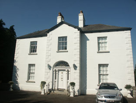 Catholic Church of Saint Nicholas of Myrapresbytery/parochial/curate's house · 1573 yd
 Memorial to 1798 rebellionMonument · 1681 yd
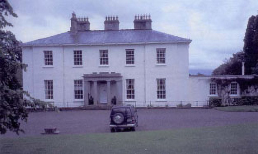 Tynte Parkhouse · 1.0 mi
 CastleCastle, unclassified · 1.3 mi
 Site of Fair GreenForest · 1.3 mi
 Colbinstown Castle (in Ruins)Castle, unclassified · 2.5 mi
 Ballyhook HillMountain / peak · 3.3 mi
 Burial ground in CrehelpBurial ground · 3.4 mi
 HawthornHawthorn · 3.4 mi
 Church MountainMountain / peak · 4.6 mi