What is recorded here
No credible fact exists to build a story about this place.
The official Northern Ireland record identifies this as STONE CIRCLE. Recorded period: UNCERTAIN. The official map point was placed at the centre of the recorded archaeological site from the source map reference.
Likely dating to the Neolithic or Bronze Age, stone circles like Ticloy were often used for ceremonial, ritual, or astronomical purposes. While specific folklore is not recorded, such sites are commonly associated with ancient communal gatherings or spiritual practices in prehistoric Britain and Ireland.
The monument record does not grant public access. Check the route and ask the landowner before entering private land.
- What survives
- Recorded monument
Places near here
 A.P. SITEA.P. SITE, circular enclosure · 316 yd
 ENCLOSURE & FIELD SYSTEM in ClegganENCLOSURE & FIELD SYSTEM · 1022 yd
 Mid HillMountain / peak · 3.0 mi
 Collin TopMountain / peak · 3.1 mi
 SlemishMountain / peak · 4.1 mi
 Cranny FallsWaterfall · 4.7 mi
 Glenarm ForestForest · 4.7 mi
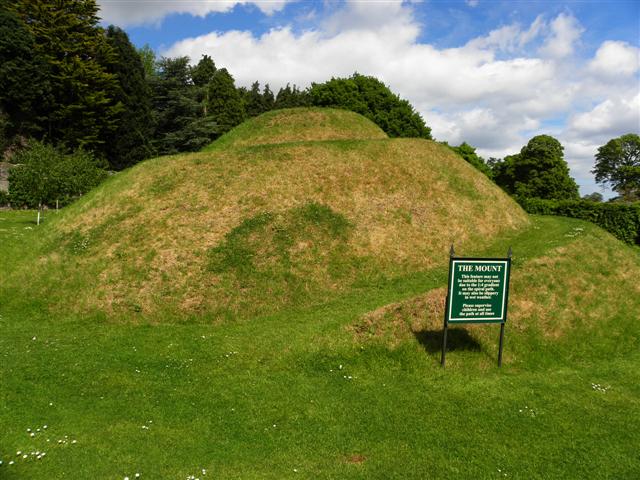 The MountViewpoint · 5.1 mi
 Millennium MilepostVisitor information · 5.2 mi
 Carnlough HarbourHarbour/ Pier · 5.2 mi
 Glenarm CastleCastle · 5.2 mi
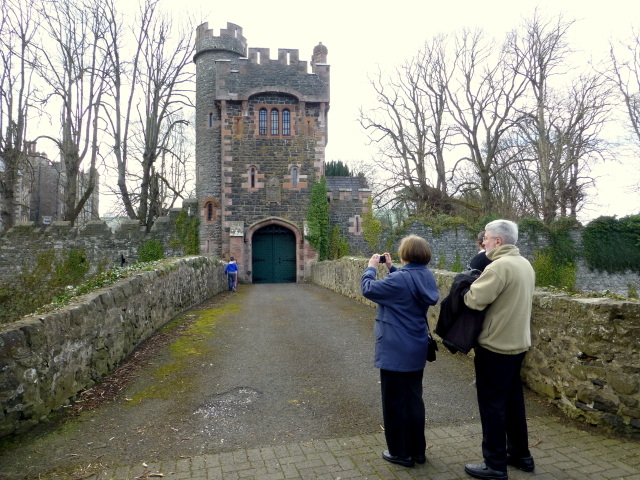 CASTLE (site of) in Town Parks (glenarm)CASTLE (site of) · 5.3 mi