
What is recorded here
From the National Monuments Service (Archaeological Survey of Ireland) record MA042-010
Places near here
Photo credits
- Maker not stated on source page, www.dreamstime.com
- National Inventory of Architectural Heritage
- Maker not stated on source page, www.flickr.com
- John Lucas, Geograph · CC BY-SA 2.0
- Colin Park, Geograph · CC BY-SA 2.0
- N Chadwick, Wikimedia Commons · CC BY-SA 2.0
- Colin Park, Wikimedia Commons · CC BY-SA 2.0
- Golfing in Ireland; photographer not stated, Source publisher
- ParaDara, Wikimedia Commons · CC BY-SA 4.0
- Kiran Madhusudhanan, Wikimedia Commons · CC BY-SA 4.0
 Megalithic tomb in SlievemoreMegalithic tomb · 417 yd
Explorer Tom Megalithic tomb in Slievemore is playing possum on the map. The surveyors clearly got drunk and drew it three fields…
 Saddle Hill Signal TowerSignal tower · 1.6 mi
Explorer Tom Saddle Hill Signal Tower is just a pile of rocks pretending to be architecture. It used to shout messages to ships, but…
 Achill Island Signal TowerRuins · 1.6 mi
Explorer Tom Achill Island Signal Tower in County Mayo has heard some truly terrible poetry dedicated to its crumbling brickwork…
 Dooagh StrandBeach / strand · 1.9 mi
Explorer Tom Dooagh Strand on Achill pulled off a magic trick and took it away again. Its sand vanished in the 1980s, returned in…
 CroaghaunMountain / peak · 2.2 mi
Explorer Tom Croaghaun hides its big cliffs behind the mountain. Show-off. Croaghaun is Achill Island's highest mountain at 688…
 Achill HengeInstallation · 2.3 mi
Explorer Tom Achill-henge looks ancient from the wrong angle, which is exactly why I should tell you the date before inventing a…
 Croaghaun sw TopMountain / peak · 2.6 mi
Explorer Tom Croaghaun sw Top was saved by a hero nobody remembers, who probably just stopped looking in the wrong direction for…
 Convent of the Sacred HeartConvent/nunnery · 2.6 mi
Explorer Tom Convent of the Sacred Heart in Keel East is guarding a legend about a giant who slept in the garden. The sisters…
 Moyteoge HeadMountain / peak · 3.2 mi
Explorer Tom Moyteoge Head was once used to smuggle illegal cheese across the bay in a rowboat. The customs officer never found out…
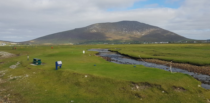 Achill Island Golf ClubGolf course · 3.6 mi
 Keel BeachBeach / strand · 4.0 mi
Explorer Tom Keel Beach runs for kilometres beneath Achill's mountains, with Minaun's cliffs at one end and wide Atlantic air…
 Achill Island - AcaillIsland · 4.0 mi
Explorer Tom If I say Achill is a quick detour, hide my car keys. Achill is Ireland's largest island, yet you can arrive without…
More archaeology and monuments in County Mayo · All of County Mayo

What do you know about this place?Tap to add a comment or ask a question