What is recorded here
Stone circle in Mill An Ghoilín: one of two circles recorded in 1940s on Andrew Cremin's land, now lost to the exact field. In South-West Kerry, such rings marked boundary, ceremony or memory; this one may have been buried, broken or simply stopped being pointed at. The land keeps its shape in grass and stone, waiting for someone to walk it without a map.
One of two 'stone circles' recorded in the 1940s on Andrew Cremin's land (ITA) (see KE097-049----). The precise location of this possible stone circle is not known.
The above description is derived from the published 'Archaeological Inventory of County Kerry. Volume I: South-West Kerry' (Dublin: Stationery Office, 2009). In certain instances the entries have been revised and updated in the light of recent research.
Date of upload: 30 May 2011
The monument record does not grant public access. Check the route and ask the landowner before entering private land.
- What survives
- Recorded monument
Places near here
 Waterville Beach (Reenore) HotelRuins · 1421 yd
 Holy well in An CluainHoly well · 1511 yd
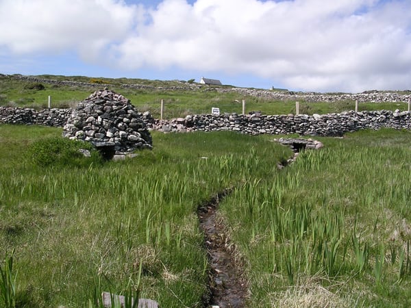 St. Michaels WellHoly well · 1630 yd
 Trá an GhleanntáinBeach / strand · 1.4 mi
 Emlagh LoopWalking route · 1.6 mi
 Fermoyle Castle (in Ruins)Castle, tower house · 1.7 mi
 Ballinskelligs Castle (in Ruins)Castle, tower house · 1.7 mi
 Reglaish Church (in Ruins)Church · 1.9 mi
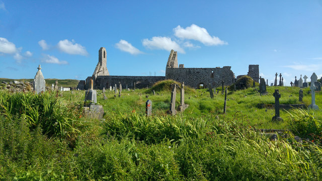 Ballinskelligs PrioryVisitor information · 2.0 mi
 Ballinskelligs Abbey (in ruins)Religious house, Augustinian canons · 2.0 mi
 Bá na ScealgBay · 2.1 mi
 Oileán na gCapallIslet · 2.3 mi