
What is recorded here
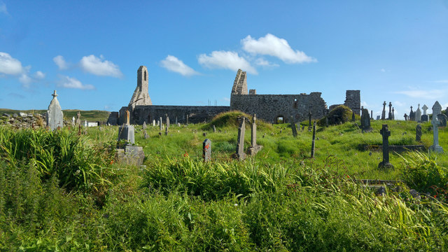
Not marked on the OS maps, this holy well was located on the roadside adjacent to a ceallúnach burial ground (KE088-031----). Known locally as Tobar an Cheallúnaigh, it was formerly visited on Good Fridays, when rounds included a visit to the nearby burial ground (Sugrue 1993, 40). No surface trace of the well survives.
The above description is derived from A. O'Sullivan and J. Sheehan (compilers), 'The Iveragh peninsula: an archaeological survey of South Kerry'. Cork University Press (1996), no. 1059. In certain instances the entries have been revised and updated in the light of recent research.
Date of upload: 30 July 2013
Linked to a local tradition of pilgrimage on Good Friday, Tobar an Cheallúnaigh was associated with the nearby ceallúnach burial ground, reflecting a continuity of sacred landscape use in early Christian Ireland. The well’s name suggests a connection to an anchorite or hermitage, though no specific saint is recorded in association with the site.
The monument record does not grant public access. Check the route and ask the landowner before entering private land.
- What survives
- Recorded monument
Places near here
 Waterville Beach (Reenore) HotelRuins · 1250 yd
 Cultivation ridges in An Timleach Mór ThiarCultivation ridges · 1356 yd
 Field boundary in Imleach Na MucField boundary · 1677 yd
 Fermoyle Castle (in Ruins)Castle, tower house · 1725 yd
 Emlagh LoopWalking route · 1.0 mi
 Reenrow BeachBeach / strand · 1.2 mi
 Bá na ScealgBay · 2.5 mi
 Kineigh Househouse · 2.5 mi
 Ballinskelligs Castle (in Ruins)Castle, tower house · 2.6 mi
 Reglaish Church (in Ruins)Church · 2.7 mi
 Ballinskelligs PrioryVisitor information · 2.9 mi
 Oileán na gCapallIslet · 3.1 mi
Other information
Photo: Credit not shown in the picture search · Rights wording not checked; contact us if this picture should be removed