What is recorded here
In pasture within a flat field on the S lower slope of Knocksentry Hill also known as Knockroe, 650m E of the NE shore of Lough Gur. A cist burial cemetery (LI032-055----) is located 140m to NW; Circle O (LI032-060----) lies 40m to SW and Circle P (LI032-059---) is located 100m to S; as are a number of other mound sites (LI032-058/-321).
The stone circle is not depicted on any OSi historic maps. The site is not visible on the OSi orthoimage taken 2005-12 or on Digital Globe orthoimages taken 2011-2013. Barry (1900, 374) recorded that ‘the remarkable group of three stone forts on Knockroe, east of the lake, is not marked on the Ordnance Survey. At present there are only two, but Croker's map shows a third east of the existing ones’. The assumption is that first two sites are Circle O (LI032-060----) and Circle P (LI032-059---) and the third site to the ‘east’ is LI032-058----. O’Kelly (1944, 24) recounted Corker (1833, 110) and described LI032-058---- as having ‘stood beside Circles O and P No trace of it is now visible and there is no memory of it in the neighbourhood. It measured 28 yards [25.5m] and 113 [103m] in circumference’. The approximate location of the site is visible on Google Earth orthoimages taken 28/06/2018 and 20/09/2020. The site location is based on Croker’s map of 1833.
See attached Google Earth orthoimages
Compiled by: Edmond O’Donovan
Date of upload: 17 November 2020
Probably dates to the Late Neolithic or Early Bronze Age, given its association with a cist burial cemetery. Such stone circles may have had ritual or ceremonial functions, possibly linked to burial practices or seasonal gatherings.
The monument record does not grant public access. Check the route and ask the landowner before entering private land.
- What survives
- Recorded monument
Places near here
 Lough Gur OArchaeological place · 83 yd
 Structure in LoughgurStructure · 103 yd
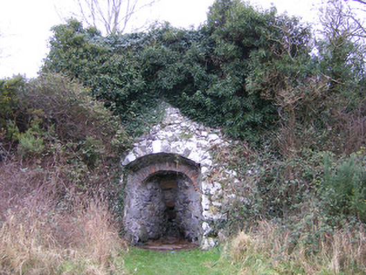 kilnkiln · 733 yd
 Lough Gur Heritage CentreVisitor information · 746 yd
 Loughgur Farmhouse · 772 yd
 Pedunculate OakPedunculate Oak · 846 yd
 The SpectaclesVisitor information · 849 yd
 Black Castle (in ruins)Castle, tower house · 1277 yd
 OultinedBawn · 1530 yd
 Grange Stone CircleArchaeological place · 1.4 mi
 Lough GurVisitor information · 1.5 mi
 KnockainyMountain / peak · 3.3 mi