What is recorded here
Situated 10m WNW of the site of the celebrated Killycluggin Stone (93). Much disturbed. Subcircular raised area (int. dims. 22m E-W; 18.6m N-S) enclosed by a total of eighteen stones, all but five of which have fallen. The site is divided into two unequal portions by a field boundary running N-S. The smaller portion, W of this, is defined by four orthostats still in position. The largest stone (now fallen) is at NNE (L 3.93m; dims. 1.45m x 0.68m). (Ó Ríordáin 1979, 155; Killanin and Duignan 1989, 61)
The above description is derived from the published 'Archaeological Inventory of County Cavan' (Dublin: Stationery Office, 1995). In certain instances the entries have been revised and updated in the light of recent research.
Date of upload/revision: 22 December 2008
Likely dating to the Neolithic or Bronze Age, this stone circle may have functioned as a ceremonial or ritual site, possibly linked to the nearby Killycluggin Stone, which is associated with early Christian and folkloric traditions in the region.
The monument record does not grant public access. Check the route and ask the landowner before entering private land.
- What survives
- Recorded monument
Places near here
 Killycluggin StoneVisitor information · 244 yd
 Tober PatrickHoly well · 783 yd
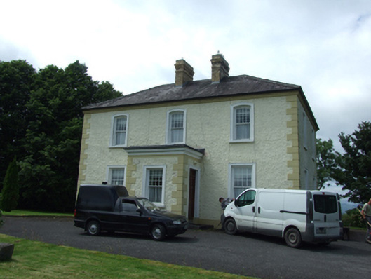 The Presbyterypresbytery/parochial/curate's house · 906 yd
 Saint Patrick's Catholic Churchchurch/chapel · 988 yd
 LissanoverCastle, unclassified · 1190 yd
 IndicatedHilltop enclosure · 1273 yd
 Killarah ForestForest · 1.1 mi
 Bellaheady MountainMountain / peak · 1.2 mi
 Ballyconnell Log CabinsForest · 1.5 mi
 Saint Mogue's IslandIslet · 1.6 mi
 Giants GraveArchaeological place · 1.7 mi
 Bilberry HillMountain / peak · 2.3 mi