What is recorded here
Stone circles in Fermanagh belong to the oldest human layer of the county, when people marked time, ritual or boundary before written record. Killee sits inside that older landscape, where stone still holds the shape of attention. The circle may have watched seasonal light, gathered neighbours for ceremony, or simply made the unknown visible. Whatever it did, it did it for generations, and the land remembered the weight of that repetition.
The official Northern Ireland record identifies this as STONE CIRCLE. Recorded period: PREHISTORIC. The official map point was placed at the centre of the recorded archaeological site from the source map reference.
Likely dating to the Neolithic or Bronze Age, this stone circle may have been used for ceremonial, ritual, or astronomical purposes. While specific folklore is not recorded, such circles often held significance in prehistoric communities for gatherings or spiritual practices.
The monument record does not grant public access. Check the route and ask the landowner before entering private land.
- What survives
- Recorded monument
Places near here
 Topped MountainMountain / peak · 453 yd
 STONE ENCLOSURE in Mullyknock OR Topped MountainSTONE ENCLOSURE · 842 yd
 Cloghtogle MountainMountain / peak · 983 yd
 OVAL ENCLOSURE in Mullyknock OR Topped MountainOVAL ENCLOSURE · 1122 yd
 Pubble ForestForest · 1.4 mi
 Holy Trinity ChurchChurch · 1.9 mi
 PENAL CHURCH in BallylucasPENAL CHURCH · 2.3 mi
 Coneyburrow WoodWood · 3.4 mi
 The Ice HouseHeritage attraction · 3.7 mi
 Castle CooleCountry House · 3.7 mi
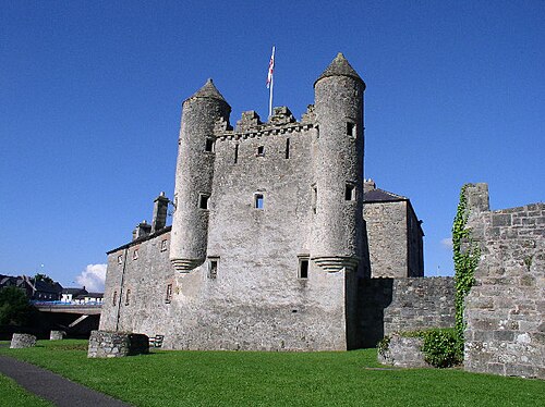 Siege of Enniskillensiege · 4.8 mi
 War MemorialMemorial · 4.8 mi