What is recorded here
Unlocated stone circle described in 1943 as being located near the summit of 'Kyle Hill' (ITA Survey 1943).
The above description is derived from the published 'Archaeological Inventory of County Offaly' (Dublin: Stationery Office, 1997). In certain instances the entries have been revised and updated in the light of recent research.
Date of upload: 23 May 2011
Likely dating to the Late Neolithic or Bronze Age, such stone circles were often used for ritual or ceremonial purposes. Their alignment and placement suggest possible astronomical or seasonal significance, though local folklore or specific meanings for this site are not recorded.
The monument record does not grant public access. Check the route and ask the landowner before entering private land.
- What survives
- Recorded monument
Places near here
 Ritual siteRitual site, holy tree/bush · 500 yd
 Saint Kieran's WellSpring · 505 yd
 St. Kierans Church Yd.Church · 539 yd
 IndicatedEnclosure · 819 yd
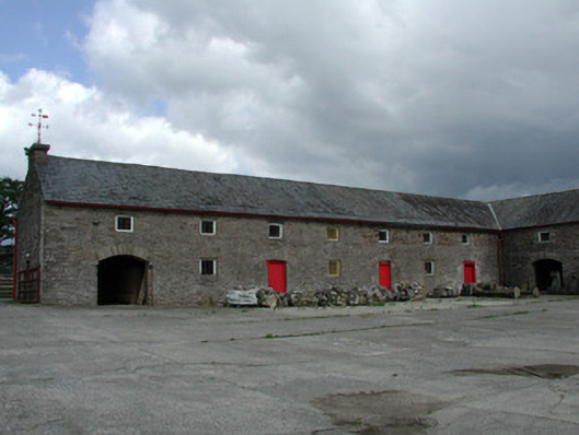 Mount Butlerfarmyard complex · 1435 yd
 Ballaghmore CastleCastle, tower house · 1.2 mi
 CastleCastle, ringwork · 1.6 mi
 European ashEuropean ash · 1.8 mi
 European BeechEuropean Beech · 1.9 mi
 Millennium GardenMemorial · 2.2 mi
 Roscrea Petty Sessions HouseHeritage attraction · 3.0 mi
 FarbreagueMountain / peak · 3.9 mi