What is recorded here
Listed as a 'stone circle' in the SMR (1986) and as a possible 'stone circle' in the RMP (1995). On level to gently S-facing ground in a farmyard. This 'stone circle' is reputed to have stood in front of the present house and to have been destroyed in 1952. It apparently consisted of a ring of forty small boulders ("few over 45cm (18") high") 9m (30') in diameter (ITA Survey 1943; Churcher 1985, 12-13). There is no visible surface indication of this monument.
Compiled by: Matt Kelleher
Date of upload: 20 December 2012
Likely dating to the Late Neolithic or Early Bronze Age, the stone circle in Forristeen may have been used for ceremonial or ritual purposes. Local tradition sometimes associates such sites with protective or ancestral significance, though specific folklore is not well documented.
The monument record does not grant public access. Check the route and ask the landowner before entering private land.
- What survives
- Recorded monument
Places near here
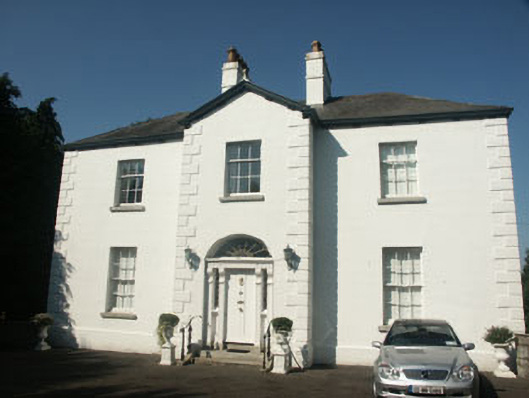 Catholic Church of Saint Nicholas of Myrapresbytery/parochial/curate's house · 1218 yd
 Memorial to 1798 rebellionMonument · 1353 yd
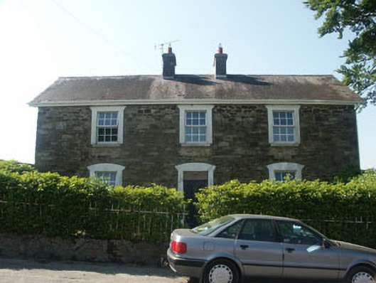 Hillgrove Househouse · 1454 yd
 Church (Site of)Church · 1463 yd
 St. Nicholas WellHoly well · 1538 yd
 Site of Fair GreenForest · 2.1 mi
 CastleCastle, unclassified · 2.2 mi
 Burial ground in CrehelpBurial ground · 2.4 mi
 Castle (in Ruins)House, fortified house · 2.9 mi
 Pedunculate OakPedunculate Oak · 3.7 mi
 Church MountainMountain / peak · 4.0 mi
 Saint Kevin's CaveMemorial · 4.2 mi