
What is recorded here
From the National Monuments Service (Archaeological Survey of Ireland) record WI015-018
Places near here
Photo credits
- Maker not stated on source page, www.pinterest.com
- Maker not stated on source page, www.thejournal.ie
- J P & M Doyle Ltd / MyHome.ie property listing; individual aerial photographer not named, www.myhome.ie
- National Inventory of Architectural Heritage
- P L Chadwick, Wikimedia Commons · CC BY-SA 2.0
- Maker not stated on source page, www.dreamstime.com
- Eeno11, Wikimedia Commons · CC BY 3.0
- Maker not stated on source page, commons.wikimedia.org
- Golfing in Ireland; photographer not stated, Source publisher
 Anomalous stone group in ForristeenAnomalous stone group · 188 yd
Explorer Tom Anomalous stone group in Forristeen is a disused quarry pit that used to be called a stone circle because we like to…
 Fairy fort / earthen ringfort in Dunlavin UpperFairy fort / earthen ringfort · 769 yd
Explorer Tom Fairy fort / earthen ringfort in Dunlavin Upper has a family tree that’s basically pure invention. Two doors? It…
 Dunlavin GAAGAA ground · 848 yd
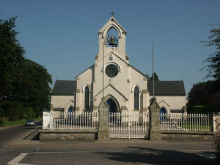 Catholic Church of Saint Nicholas of MyraChurch/chapel · 1195 yd
Explorer Tom Catholic Church of Saint Nicholas of Myra in Dunlavin is standing on a green where over forty people were executed back…
 Fair GreenPark · 1297 yd
Explorer Tom Fair Green in Dunlavin looks like a modest village opening until its triangular shape and memorial ask you to stop. I…
 Hillgrove HouseHouse · 1454 yd
Explorer Tom Hillgrove House in Dunlavin Upper claims its unlikely celebrity friend is a very tall, very shy gardener. The…
 Graveyard in Dunlavin UpperGraveyard · 1462 yd
Explorer Tom Graveyard in Dunlavin Upper nearly became famous when someone tried to turn it into a park, but the gravestones…
 Dunlavin Market HouseMarket house · 1476 yd
Explorer Tom Dunlavin Market House has a hidden message in its stones that just says 'I’m fancy', which is very honest of it. It’s a…
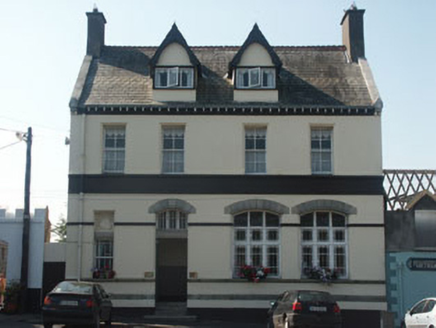 Bank HouseBank/financial institution · 1522 yd
Explorer Tom Bank House in Dunlavin Upper remembers the time a fox took charge of the vault and ate all the paperwork. It’s an…
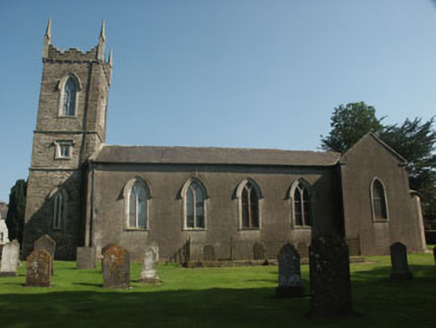 Saint Nicholas's Church (Dunlavin)Church/chapel · 1613 yd
Explorer Tom Saint Nicholas's Church (Dunlavin) in Dunlavin Upper was designed by a very opinionated mother-in-law with a serious…
 CastleCastle, unclassified · 1.4 mi
Explorer Tom Castle in Tober Demesne is hiding near the ruined house, probably ordering a chip but no mash because it’s trying to be…
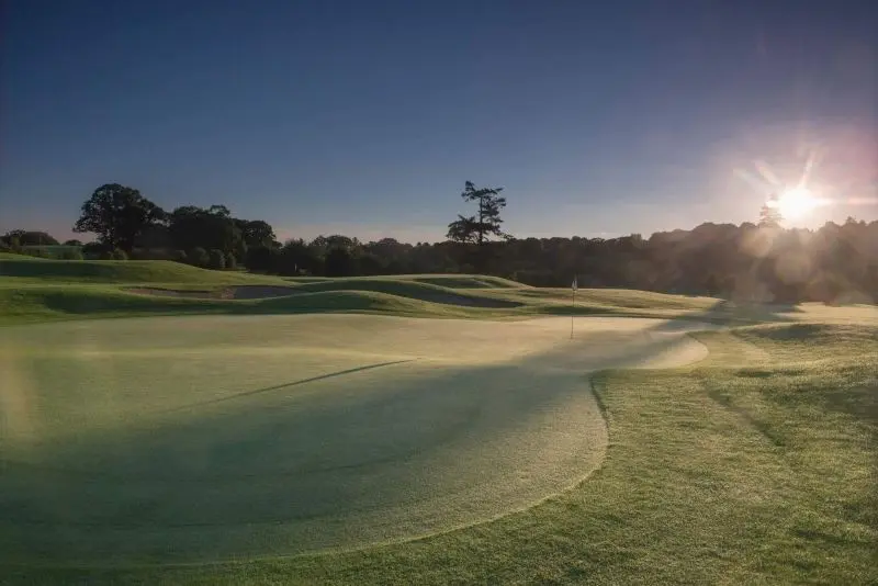 Rathsallagh Golf ClubGolf course · 1.8 mi
More archaeology and monuments in County Wicklow · All of County Wicklow

What do you know about this place?Tap to add a comment or ask a question