What is recorded here
Unlocated stone circle within townland, described in The History of the Queen's County as a stone circle 'on Knockbawn, and it has three concentric circles' (O'Hanlon and O'Leary 1907, vol. 1, 59). Described in 1856 by Daniel O'Byrne as consisting 'of three concentric circles. The first, or inner circle measures fifteen yards in diameter, the second fifty-four yards, and the external circle seventy-six yards. A few years ago near this circle, was found a gold fibula about the size of the iron heel of a man's shoe, commonly called a 'tip'. Near this circle a draw-well has been discovered of great depth' (O'Byrne 1856, 17).
Compiled by: Caimin O'Brien
Date of upload: 17 December 2007
Likely dating to the Late Neolithic or Early Bronze Age, the stone circle at Knockbaun may have had ceremonial or astronomical functions. No specific folklore is recorded, but such circles often held communal or ritual significance in prehistoric Ireland.
The monument record does not grant public access. Check the route and ask the landowner before entering private land.
- What survives
- Recorded monument
Places near here
 Enclosure in KnockbaunEnclosure · 482 yd
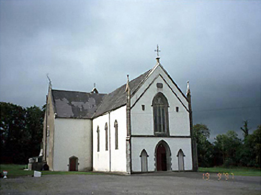 Saint Laserian's Catholic Churchchurch/chapel · 1.2 mi
 Enclosure in Aughatubbrid OR ChatsworthEnclosure · 1.4 mi
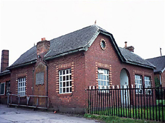 Fleming's Fireclaysworker's house · 2.2 mi
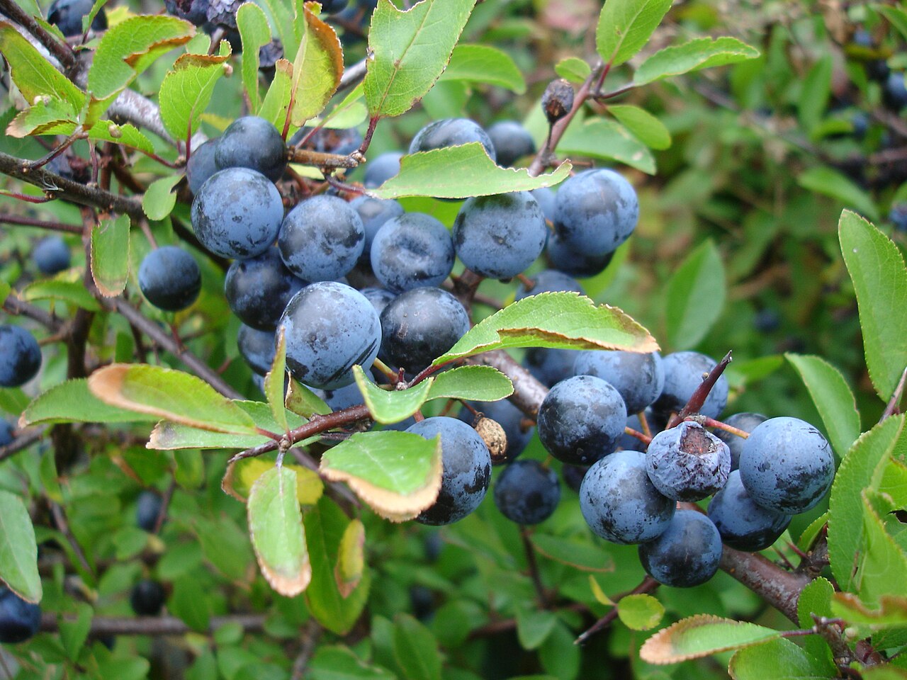 BlackthornBlackthorn · 3.0 mi
 Moat Castle in ruinsCastle, unclassified · 3.2 mi
 AskuarWood · 3.5 mi
 Timahoe AbbeyCastle, tower house · 3.9 mi
 Timahoe Church and Round TowerVisitor information · 3.9 mi
 Heywood GardensHeritage attraction · 4.2 mi
 1798 MonumentMemorial · 4.8 mi
 Kilgorey Old BurialVisitor information · 6.4 mi