DDiscover AloneMapAbout

Stone circle in Cashelenny

Stone circle
Stone circle in Cashelenny
Representative picture, exact place not confirmed
Photo: Maker not stated on source page, www.flickr.com · Report the wrong picture

The monument record does not grant public access. Check the route and ask the landowner before entering private land.

What do you know about this place?Tap to add a comment or ask a question

What you write will be public.

What is recorded here

The following description is derived from Cody (2000). The ‘stone circle complex at Cashelenny, County Donegal, is sited on bog-grown upland some 10 km. north-east of Pettigo . . . . The site was known to Oliver Davies who conducted fieldwork in County Donegal in the 1940s and 1950s. In his notes in the topographical…

Read the whole record
The following description is derived from Cody (2000). The ‘stone circle complex at Cashelenny, County Donegal, is sited on bog-grown upland some 10 km. north-east of Pettigo . . . . The site was known to Oliver Davies who conducted fieldwork in County Donegal in the 1940s and 1950s. In his notes in the topographical files in the National Museum of Ireland, Dublin, he identified it as a complex of stone circles and alignments and through his work it came to be included in the Archaeological Survey of County Donegal where it is briefly described (Lacy 1983, 71). Some years later Claire Foley of the Environment and Heritage Service, Department of the Environment for Northern Ireland, whose attention had been drawn to the site by Michael McSorley of Castlederg. County Tyrone, alerted my former colleague, Dr Sean Ó Nualláin, to its significance. In August 1991, accompanied by Mr McSorley, the writer and Dr Ó Nualláin visited the complex and in September of that year it was surveyed. The monument is exposed in a 30m. - 35m. wide strip of cut-away bog which extends for something in excess of 120m. in a north-easterly direction from the environs of an abandoned house. This turf-cutting is old work and there would not appear to be any local memory of it. The surface of the cut-away strip is approximately 1m. below that of the surrounding bog. As none of the stones of the monument rise more than 75cm. above the cut-away surface it is likely that they had been wholly enveloped before turf-cutting took place. There would still seem to be a 40cm. thickness of peat at the site, the surface of which is now under a lighlt growth of grass and heather. The monument stands between 600 and 700 feet O.D. (183-213m.) on a gentle south-facing slope on the south-western spur of Crockarthur, which spans the boundary between Donegal and Tyrone. This hill is one of a series along a belt of hill and mountain country, lying between the Derg River to the north and the Termon River to the south, which stretches eastwards from Lough Derg in County Donegal almost to Drumquin in County Tyrone. Northwards from the monument the ground rises gently and just 50m. away drops sharply to a narrow valley which forms the north side of the spur. The outlook from the site is limited by relatively close horizons formed by hill-ridges except to the south. In the latter direction there is an extensive view across Lough Nageage, 0.6 km. away, and beyond it along the basin of the Termon River in the direction of Lower Lough Erne. The accompanying plan shows the 134 stones that were visible at the date of survey. Of the 134 only nine are 40cm. or more high, 101 stones are no more than 15cm. high and shout half of these scarcely rise clear of the cut-away surface. Many of the stones at the sire are clearly set on an end or edge and while the status of a considerable number of low stones must remain somewhat uncertain it is considered likely that the great majority are in situ. A very small number appear to be prostrate, as if they might have fallen or been uprooted, and these are shown in outine on the plan. Four classically-sited features are identified. At the south-west there is a stone circle and some 5m. to the north-east, and slightly upslope, there is a larger sub-circular feature, possibly also a stone circle, in the interior of which there are set stones. Between the two circles there is a row of stones and at the north-eastern end of the complex there are a number of stones, perhaps another linear setting. The stone circle at the south-west, part of which is still enveloped in bog, is some 10m in diameter. None of the stones forming the circle rises more than 30cm. above the cut-away surface. For the most part there are gaps between the stones, though two stones at the south-west at the point it exits the bog are almost contiguous while the next two stones are set end to end but it is possible that this pair originally formed one stone. The second circle measures about 14m. across. An apparent irregularity in the perimeter at the north-west may be due to loss or concealment of stones. By way of contrast with the last, which apparently lacks any internal settings, low upright stones occupy the interior of this feature and it is likely that many more have been lost or are concealed by peat. Two perimeter stones at the south-east, marked A and B on the plan and 1.20m. apart, are the tallest not only of this feature but at the entire site. They are 70cm. and 75cm. high respectively and, in contrail to most of the stones that seem to form the perimeters of both circles, these are radially set. They might form an entrance feature. The row of stones between the two features already described is represented by ten stones. These form a slightly irregular line some 10m. long. It can be described, somewhat loosely, as running tangentially to the largo circle and were it extended further south-eastwards it would also form a tangent with the smaller circle. The fourth feature, at the north-eastern end of the complex is 2m. to 3m. from the larger circle. It may be a short row of stones, possibly doubled, though it is conceivable that the stones here are part of a circle now largely lost or still concealed. The grouped arrangement of the features at the site the use of quite small stones, the occurrence of set stones in the interior of one of the circles and the combination of circles and rows identify the site as an example, perhaps the most westerly, of the mid-Ulster group of stone circle clusters of Beaghmore type which are centred on the plateau south of the Sperrin Mountains in County Tyrone (Davies 1939). The full extent of the complex and the degree of structural elaboration remain to be established at Cashelenny before detailed comparisons can be made between it and other examples of this geographically distinctive group of Bronze Age monuments.’ Compiled by: Paul Walsh Date of upload: 2 August 2017

From the National Monuments Service (Archaeological Survey of Ireland) record DG102-001

Places near here

Photo credits
  • National Inventory of Architectural Heritage
  • Maker not stated on source page, za.pinterest.com
  • Maker not stated on source page, www.britainexpress.com
  • Maker not stated on source page, www.pinterest.com
  • Maker not stated on source page, en.wikipedia.org
  • Photo courtesy PDPhoto.org, Wikimedia Commons · Public domain
  • Derek Henry, Geograph · CC BY-SA 2.0
  • Maker not stated on source page, www.tripadvisor.com
  • The Irish News; photographer not stated, The Irish News
  • Maker not stated on source page, www.tripadvisor.com.ph
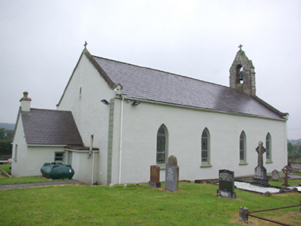
Saint Joseph's Catholic ChurchChurch/chapel · 1.4 mi

Explorer Tom Saint Joseph's Catholic Church in Lettercran would review its visitors by giving them a stern look and a slight nod of…

Cairn in Ballymongan; ShanaghyCairn · 1.6 mi

Explorer Tom Cairn in Ballymongan, Shanaghy has a bishop who refused to visit because he said the stones looked too judgmental for…
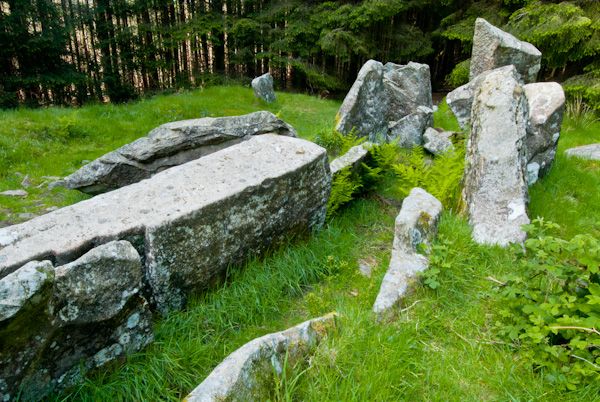
Court tomb: giant's grave in TawnydorraghCourt Tomb: Giant's Grave · 1.6 mi

Explorer Tom Court tomb: giant's grave in Tawnydorragh saw a man once trip over his own feet and drop a sandwich. That was the most…
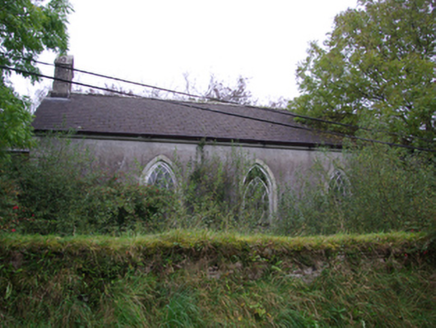
Cashelenny Church of Ireland ChurchChurch/chapel · 1.7 mi

Explorer Tom Cashelenny Church of Ireland Church has these pointy stone eyes staring out from its walls! Built around 1836, it looks…

Standing stone possibly remains of Megalithic Tomb in SeegronanStanding stone possibly remains of Megalithic Tomb · 2.0 mi

Explorer Tom "Standing stone in Seegronan would win a county fair easily by just standing still and looking bored, which is…

possible round cairn in SeegronanPossible round cairn · 2.4 mi

Explorer Tom "Possible round cairn in Seegronan is spinning a tall tale about a hidden tunnel straight to the local pub, which we…

Church; graveyard: cill chairill or kelkirell or kylchyrryll in MagherakeelChurch · 3.1 mi

Explorer Tom Church, graveyard: cill chairill or kelkirell or kylchyrryll in Magherakeel is claimed by a local who says he invented…

Drumskinny Stone CircleHeritage attraction · 3.2 mi

Explorer Tom Drumskinny brings a stone circle, a small cairn and a line of stones together on Fermanagh upland ground. I went…

Drummoney WaterfallWaterfall · 4.6 mi

Explorer Tom Drummoney Waterfall’s name actually means 'the rock that fell down because it was tired,' which is very accurate. The…

Philipboy IslandIslet · 4.8 mi

Explorer Tom Philipboy Island is reviewing its visitors right now, giving a solid two stars for effort but deducting points for…

Lough Derg Pilgrim PathOfficial walking route · 5.0 mi

Explorer Tom Lough Derg Pilgrim Path lets you walk the mainland shore toward an old threshold of pilgrimage, with lake, woodland and…

Castle in TullyhommonCastle · 5.9 mi

Explorer Tom Castle in Tullyhommon has a curse that only affects people who don’t wave when they drive past. I saw a man cry because…

More archaeology and monuments in County Donegal · All of County Donegal

Add to this placeAdd a picture Add a detailed tip Add a story

Explore the map1,095,414 places to discover

Next place · or swipeSaint Joseph's Catholic Church