What is recorded here
The official Northern Ireland record identifies this as STONE CIRCLE. Recorded period: PREHISTORIC. The official map point was placed at the centre of the recorded archaeological site from the source map reference.
The monument record does not grant public access. Check the route and ask the landowner before entering private land.
- What survives
- Recorded monument
Places near here
 Beaghmore Stone Circle FArchaeological place · 1140 yd
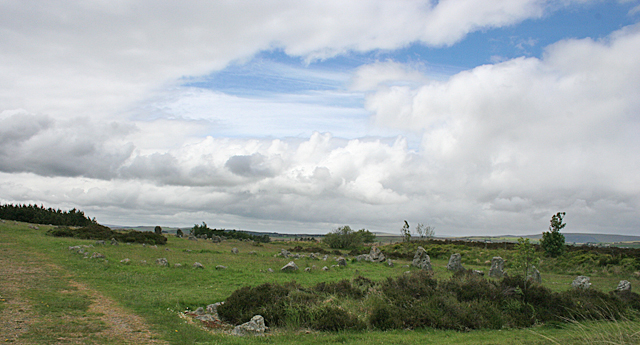 BeaghmoreArchaeological place · 1151 yd
 Beaghmore Stone Circle CArchaeological place · 1176 yd
 Beaghmore Stone CirclesVisitor information · 1191 yd
 Evishessan BridgeBridge · 1.8 mi
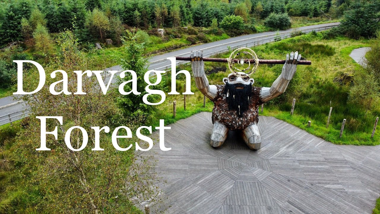 Davagh ForestForest · 1.9 mi
 OughtmoreMountain / peak · 2.1 mi
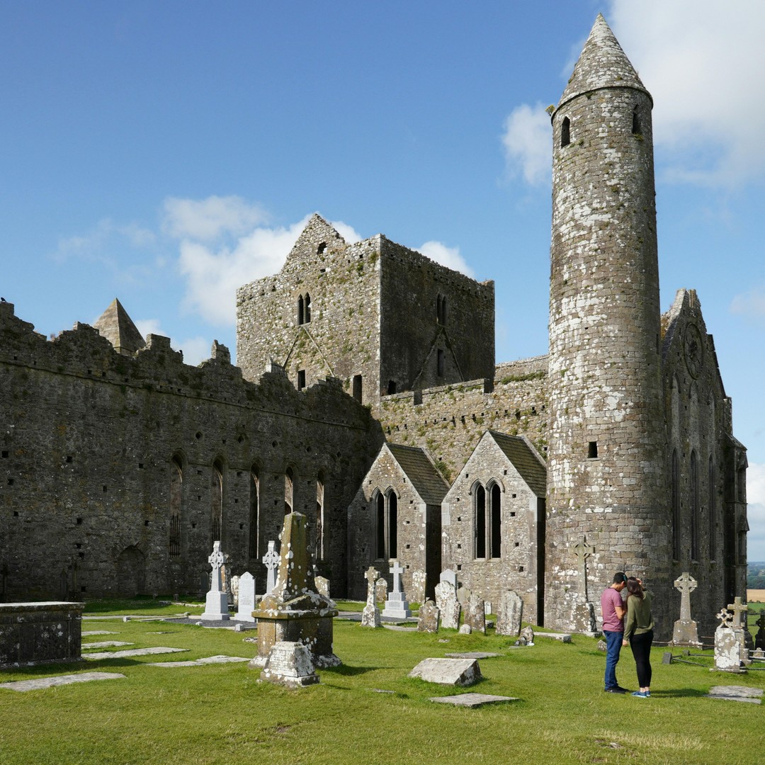 Cashel WoodForest · 3.1 mi
 Lough FeaWalking route · 4.9 mi
 CarnanellyMountain / peak · 5.5 mi
 Kildress Old ChurchRuins · 5.8 mi
 PLANTATION HOUSE & BAWN in THE BonnPLANTATION HOUSE & BAWN · 7.7 mi