What is recorded here
Stone Circle, Hachured is a broken ring in County Limerick where north-east stones still touch while the rest vanished into fields. A fence cuts across its centre like a knife through a sentence, and the missing west arc reveals itself only as a shallow step where small packing stones still hold the shape of what is gone. The circle measures thirty-three metres across, large enough to walk through and small enough to forget. It is the kind of place that stops a person mid-breath, not because it is grand, but because it is half-erased.
Stone Circle described in 1943 as following; 'Only in the north-east arc of this circle are the stones remaining fairly perfectly in their original positions (Fig. 10). Many have gone altogether on the north-west and south sides. In the remaining arc the stones are almost contiguous and are nearly all of limestone, but a few are of volcanic breccia. A modern fence has been built in an east-west direction across the circle. This almost passes through the centre. On the north-west arc of the circle where the stones are gone there is a "step-down" to the level of the field outside. This is not apparent elsewhere. It is due to the fact that the packing of small stones which held the large stones in place has remained. The circle was tilled in 1941. In ploughing, the above mentioned stone packing suffered very much. During the tillage nothing was found. The overall diameter is 110' [33.5m] and the greatest height of any of the stones does not exceed 4' [1.2m], the average height being about 3' [0.9m]. All the stones are rough boulders rather than standing stones' (O'Kelly 1942-3, 178). The outline of the monument is clearly visible today on Digital Globe aerial photographs.
See attached plan of stone circle taken from O'Kelly 1942-3, Fig. 10.
Compiled by: Caimin O'Brien
Date of upload: 26 February 2020
Likely dating to the Neolithic or Bronze Age, this stone circle may have been used for ceremonial or astronomical purposes. The partial survival of the north-east arc suggests possible alignment with seasonal markers, though specific folklore or use remains unrecorded.
The monument record does not grant public access. Check the route and ask the landowner before entering private land.
- What survives
- Recorded monument
Places near here
 Ballynamona Church (in ruins)Church · 420 yd
 Enclosure in Ballynamona (smallcounty By., Hospital Ed)Enclosure · 456 yd
 Ballynamona Castle (Site of)Castle, unclassified · 480 yd
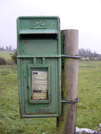 post boxpost box · 697 yd
 Partially hachuredFairy fort / earthen ringfort · 718 yd
 Bawn in Ballinscoola (smallcounty By., Cahercorney Ed)Bawn · 1.4 mi
 KnockainyMountain / peak · 1.7 mi
 Flat cemetery in Knockainy WestFlat cemetery · 1.7 mi
 Kilteely HillMountain / peak · 2.5 mi
 St. Patrick's WellSpring · 2.9 mi
 St Patrick's WellSpring · 5.0 mi
 Carn (site of)Cairn, burial cairn · 6.1 mi