What is recorded here
In rough pasture, on a ridge on the lower slopes of Knochanouganish Hill. This stone circle (diam. 8.5m) consists of nine pillar-like orthostats (L 0.35-1.3m; T 0.3-0.6m; H 1.15-2.1m). Two radially set stones form the entrance at NNE, the most easterly stone leaning to the W. The circle may originally have had eleven stones as the axial stone and one other stone are missing. A relict field boundary (KE109-003003-) lies c. 1m to the N. (Ó Nualláin 1984a, 30, no. 48)
The above description is derived from the published 'Archaeological Inventory of County Kerry. Volume I: South-West Kerry' (Dublin: Stationery Office, 2009). In certain instances the entries have been revised and updated in the light of recent research.
Date of upload: 30 May 2011
Probably dates to the Late Neolithic or Early Bronze Age, based on the construction style and regional parallels. Such stone circles may have had ceremonial or astronomical functions, and local folklore sometimes associates them with ancient gatherings or fairy circles.
The monument record does not grant public access. Check the route and ask the landowner before entering private land.
- What survives
- Recorded monument
Places near here
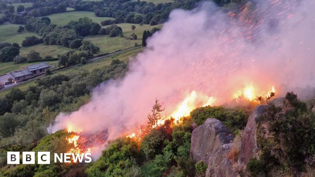 Burnt spread in Lehid (glanarought By.)Burnt spread · 545 yd
 DrombohillyMountain / peak · 585 yd
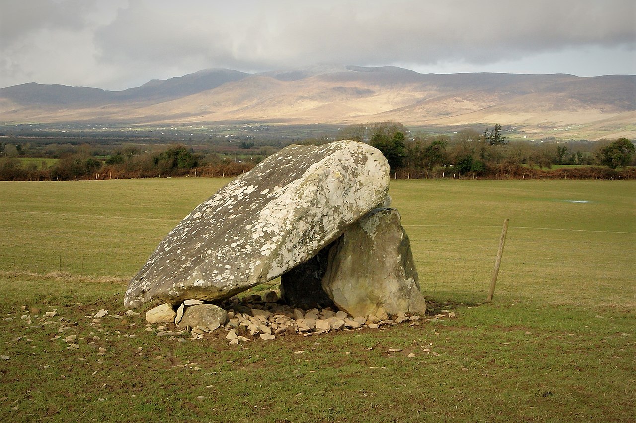 Megalithic structure in Lehid (glanarought By.)Megalithic structure · 1085 yd
 KnockateeMountain / peak · 1656 yd
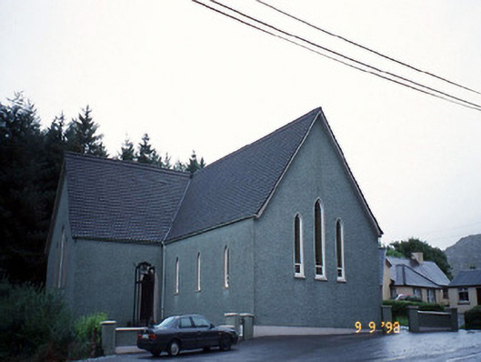 Saint Killian's Catholic Churchchurch/chapel · 1.4 mi
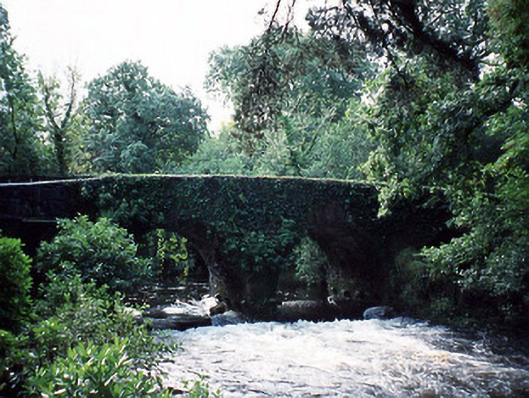 Lauragh Bridgebridge · 1.6 mi
 Habitat of DerreeniesNature reserve · 1.7 mi
 New Zealand broadleafNew Zealand broadleaf · 1.7 mi
 Ormond's IslandIslet · 2.7 mi
 DroppaCliff · 3.0 mi
 Rossmore IslandIsland · 3.3 mi
 Gleninchaquin WaterfallWaterfall · 4.2 mi