
What is recorded here
From OpenStreetMap (© OpenStreetMap contributors) n6535275263
Places near here
Photo credits
- Maker not stated on source page, www.pinterest.com
- Maker not stated on source page, en.wikipedia.org
- Maker not stated on source page, www.irelandbeforeyoudie.com
- Maker not stated on source page, tr.pinterest.com
- Maker not stated on source page, commons.wikimedia.org
- Maker not stated on source page, csb.advisor.travel
- Kay Atherton, Geograph · CC BY-SA 2.0
- Tom Heaney (nwpresspics), credited by Derry Now, www.derrynow.com
- Maker not stated on source page, in.pinterest.com
- Maker not stated on source page, walkiees.co.uk
 Two stone circles & possible alignment, part of prehistoric landscape: ballygroll in BallygrollTwo Stone Circles & possible Alignment, part of Prehistoric Landscape: Ballygroll · 14 yd
Explorer Tom Two stone circles & possible alignment, Part of prehistoric landscape: Ballygroll in Ballygroll is dealing with a fairy…
 Cairn part of prehistoric landscape: ballygroll in BallygrollCairn part of Prehistoric Landscape: Ballygroll · 47 yd
Explorer Tom Cairn in Ballygroll is secretly proud of the potato it’s been guarding since the Bronze Age. It’s part of a prehistoric…
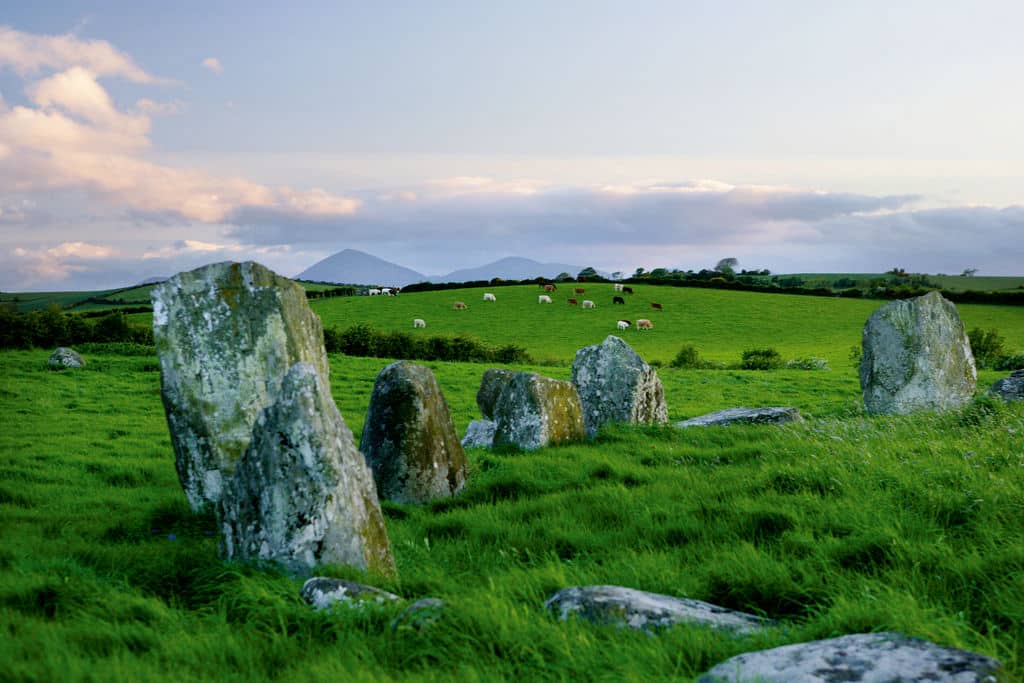 Stone, part of ballygroll prehistoric landscape in BallygrollStone, part of Ballygroll Prehistoric Landscape · 56 yd
Explorer Tom Stone, Part of Ballygroll prehistoric landscape in Ballygroll would post 'vintage vibes' on social media with seventeen…
 Round cairn, part of ballygroll prehistoric landscape in BallygrollRound Cairn, part of Ballygroll Prehistoric Landscape · 56 yd
Explorer Tom Another round cairn in Ballygroll thinks the local sheep are judging its fashion choices and honestly, they might be…
 Stone Alignment in BallygrollStone Alignment · 67 yd
Explorer Tom Stone Alignment in Ballygroll has an imaginary fan club that meets on Tuesdays. Go at sunset and thank me later when…
 Wedge tomb: part of ballygroll prehistoric landscape in BallygrollWedge Tomb: part of Ballygroll Prehistoric Landscape · 72 yd
Explorer Tom Wedge tomb in Ballygroll is proud of how well it hides in plain sight, like a stone that forgot it was furniture. It’s…
 Recumbent StoneRecumbent Stone, Cist?, part of Ballygroll Prehistoric Landscape · 119 yd
Explorer Tom Another Recumbent Stone in Ballygroll has secrets older than the concept of gossip. It’s been holding its breath for…
 Ness Waterfall Highest Waterfall In Northern IrelandWaterfall · 1.3 mi
Explorer Tom Ness Waterfall claims to be the biggest in Northern Ireland, which sounds like it needs a bigger mirror. I’d bet good…
 The Ness WoodWood · 1.4 mi
Explorer Tom The Ness Wood in County Derry is playing hide-and-seek with me, and I suspect it’s winning by a landslide because…
 Fr. Gallagher Park, St. Mary's GAA, SlaughtmanusGAA ground · 1.5 mi
 Castle: lewis castle in OghillCastle: Lewis Castle · 1.6 mi
Explorer Tom Castle: lewis castle in Oghill inspired a bad poem that rhymed 'walls' with 'calls' and 'stone' with 'known'. It’s…
 Burntollet WoodForest · 2.4 mi
Explorer Tom Burntollet Wood is secretly proud of a single potato that grew there last year and refuses to acknowledge any other…
More archaeology and monuments in County Derry · All of County Derry

What do you know about this place?Tap to add a comment or ask a question