What is recorded here
On small platform on bog-covered SW extension of Maughanaclea hills overlooking Owenbeg river basin. Circle incomplete; appears to have consisted of thirteen stones. Ten survive, two of these prostrate. Orthostats are 0.5m to 1.3m L, 0.2m to 0.4m T and 0.7m to 1.5m H. One stone, 0.4m H, appears to have been broken. Internal measurement along main axis, aligned E-W, is 10.5m. Boulder-burial (CO105-029002-) centrally placed within circle. (O Nualláin 1984, 18, no. 22; Roberts 1988, Ch. 5, no. 25)
The above description is derived from the published 'Archaeological Inventory of County Cork. Volume 1: West Cork' (Dublin: Stationery Office, 1992). In certain instances the entries have been revised and updated in the light of recent research.
Date of upload/revision: 14 January 2009
Likely dating to the Neolithic or early Bronze Age, the stone circle at Cappanaboul may have been used for ceremonial or astronomical purposes, as with many similar circles in the region. Its position overlooking the Owenbeg river basin suggests a possible connection to local water-based rituals or territorial markers.
The monument record does not grant public access. Check the route and ask the landowner before entering private land.
- What survives
- Recorded monument
Places near here
 IndicatedFairy fort / earthen ringfort · 393 yd
 CairnCairn, unclassified · 487 yd
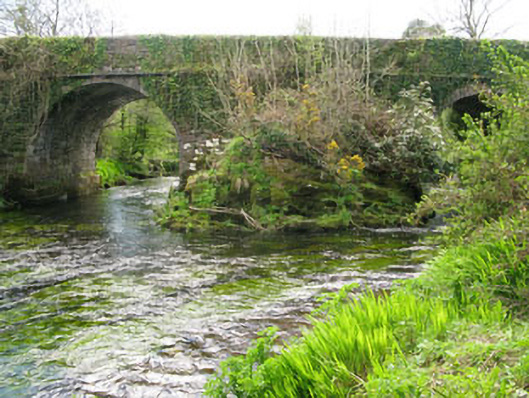 Lisheen Bridgebridge · 1754 yd
 Church in InchicloghChurch · 1.1 mi
 Kealkill stone circleVisitor information · 1.8 mi
 Castle (in Ruins)House, fortified house · 2.0 mi
 Carriganass CastleCastle · 2.2 mi
 Ballylickey BayBay · 2.2 mi
 Snave StrandBeach / strand · 2.4 mi
 Daly's LoopWalking route · 2.4 mi
 Bulls PocketMountain / peak · 2.5 mi
 Eagle PointHeadland · 2.8 mi