What is recorded here
In pasture, immediately N of a track running roughly E-W. An enclosure (LI056-013----) lies 264m to the W. Not marked on 1840 ed. OSi 6-inch map. Annotated ‘Stone Circle’ on the Cassini ed. OSi 6-inch map. Described in 1931 as ‘a huge stone circle Man-made underground passages’ (O’Shaughnessy and Carroll 1931, 75) in the vicinity of Cahir Mortle. No surface remains visible on Digital Globe orthoimage taken between 2011-2013 or on Google Earth orthoimages.
See attached Google Earth orthoimages
Compiled by: Fiona Rooney
Date of upload: 23 November 2021
Likely dating to the Neolithic or Bronze Age, this stone circle may have been used for ceremonial or ritual purposes. No specific folklore is recorded, but its alignment or position could relate to seasonal or astronomical events.
The monument record does not grant public access. Check the route and ask the landowner before entering private land.
- What survives
- Recorded monument
Places near here
 Man-made underground passageMan-made underground passage · 242 yd
 Cliff-edge fort in Ballinlyna LowerCliff-edge fort · 248 yd
 Tuck MillWater mill, unclassified · 1041 yd
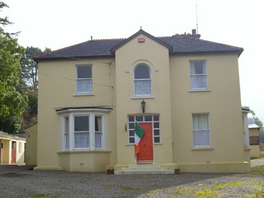 Hillsidehouse · 1540 yd
 Treada Na Ríogh (The Moat), hachuredCastle, motte · 1733 yd
 Ballyhoura tourist informationVisitor information · 1.0 mi
 Castle (in ruins)Castle, tower house · 1.1 mi
 Gooseberry HillMountain / peak · 1.3 mi
 Keale MountainMountain / peak · 1.5 mi
 Palatine's RockNamed rock · 1.8 mi
 Ballyhoura WayWalking route · 1.9 mi
 ToberpatrickSpring · 2.3 mi