
What is recorded here
In pastureland c. 410m to the ENE of the monastic site at Drumacoo (see GA103-118001-). This is the N one of two 'Station Monuments' shown c. 20m apart on the 1838 edition of the OS 6-inch map (see also 103-117001-). No visible surface trace survives and it was not evident when McCaffrey (1952, 184, no. 39a) carried out his survey.
Compiled by: Galway Archaeological Survey, UCG
Date of upload: 10 February 2020
The monument record does not grant public access. Check the route and ask the landowner before entering private land.
- What survives
- Recorded monument
Places near here
 Cross in DrumacooCross · 272 yd
 Drumacoo Monastic SiteHeritage attraction · 434 yd
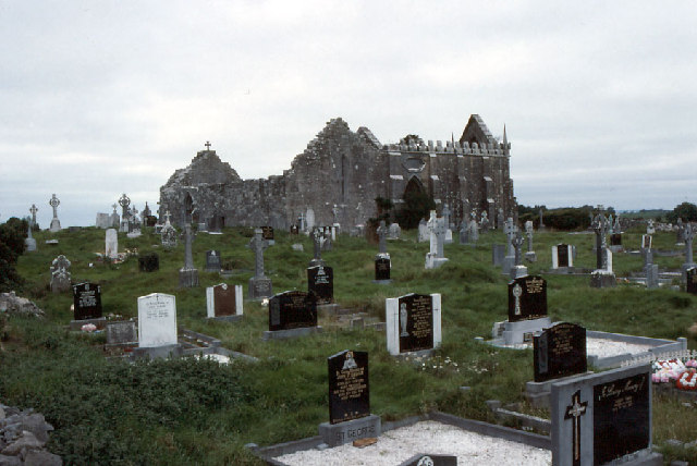 Drumacoomausoleum · 449 yd
 Newtown Ch.Church · 458 yd
 St. Sorneys WellHoly well · 512 yd
 Site of Kilcolgan CastleCastle, tower house · 1738 yd
 MweenisharanIslet · 1.7 mi
 Ballynacourty Court (in ruins)Castle, hall-house · 2.4 mi
 Kilcornan ForestWood · 2.5 mi
 Loughaun WoodWood · 2.6 mi
 Fiddaun IslandIslet · 2.8 mi
 Mweenish PointHeadland · 2.9 mi
Other information
Photo: Credit not shown in the picture search · Rights wording not checked; contact us if this picture should be removed