What is recorded here
Named ‘Station’ on the 1920 OS 6-inch map and listed as 'Potential site - name' in the RMP (1996). This is described by Macalister (1916-17, 139) as a ‘carn’ of stones at the inner end of a ‘landing stage’ (CL029-009026-). This area as indicated on the OS map is completely overgrown and inaccessible.
Compiled by: Mary Tunney
Date of upload: 22 June 2016
The monument record does not grant public access. Check the route and ask the landowner before entering private land.
- What survives
- Recorded monument
Places near here
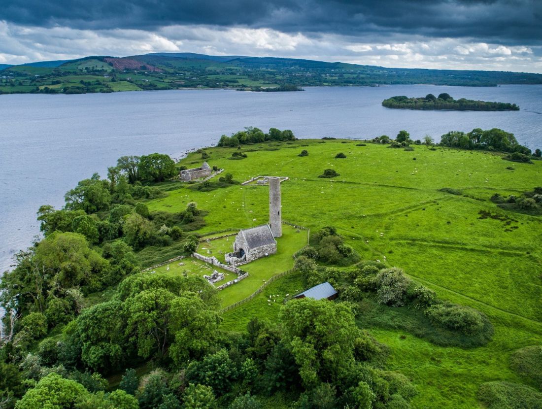 Baptism ChurchChurch · 76 yd
 Enclosure in Inishcaltra OR Holy IslandEnclosure · 147 yd
 Inishcaltra Monastic SiteArchaeological place · 188 yd
 IndicatedChurch · 217 yd
 Inishcaltra or Holy IslandIslet · 239 yd
 Pedunculate OakPedunculate Oak · 1528 yd
 The MazeHeritage attraction · 1.2 mi
 Scarriff BayBay · 1.6 mi
 Bawn in Caher (tulla Lower By.)Bawn · 1.6 mi
 Cloonoolia BayBay · 1.7 mi
 Castle BaunCastle · 1.8 mi
 Aughinish WoodForest · 1.8 mi