
What is recorded here
Thirty metres south of the round tower on Inis Cealtra, a circular fence at least thirty metres across still marks the ground. Excavation in 1974 exposed a lean-to attached outside the northeast and a separate round house inside, suggesting the enclosure served more than one purpose or era. The soil around them is tangled with stake-holes, wattle holes and post-holes, recording repeated human use rather than a single clean event. Whatever the fence contained, people kept returning to that spot on Holy Island.
Situated c. 30m S of the round tower (CL029-009014-) on Inis Cealtra. The NE quadrant of a circular fenced enclosure (min. diam. 30m) was excavated in 1974 (de Paor 2013, 40, 58). A lean-to structure was attached externally at NE while there was a round house (CL029-009137-) in the interior. According to de Paor (ibid.) the house was probably not related to the enclosure. It occurred in an area with a maze of stake-holes, wattle holes, post-holes and timber stains in the soil with evidence of activity over a long period.
Compiled by: Mary Tunney
Date of upload: 9 November 2015
The monument record does not grant public access. Check the route and ask the landowner before entering private land.
- What survives
- Recorded monument
Places near here
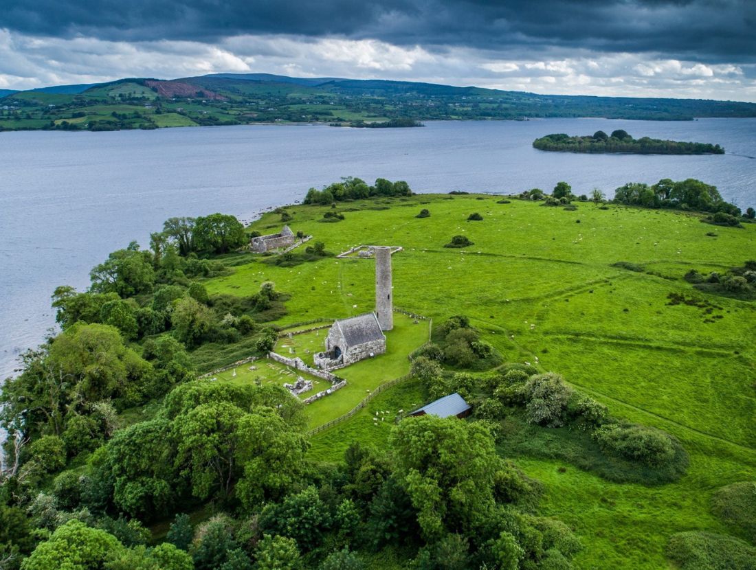 Baptism ChurchChurch · 73 yd
 Cross in Inishcaltra OR Holy IslandCross · 84 yd
 Inishcaltra Monastic SiteArchaeological place · 86 yd
 Inishcaltra or Holy IslandIslet · 119 yd
 St. Marys ChurchChurch · 120 yd
 Pedunculate OakPedunculate Oak · 1527 yd
 The MazeHeritage attraction · 1.3 mi
 Scarriff BayBay · 1.6 mi
 Bawn in Caher (tulla Lower By.)Bawn · 1.6 mi
 Castle BaunCastle · 1.7 mi
 Cloonoolia BayBay · 1.8 mi
 Aughinish WoodForest · 1.8 mi
Other information
Photo: Credit not shown in the picture search · Rights wording not checked; contact us if this picture should be removed