
What is recorded here
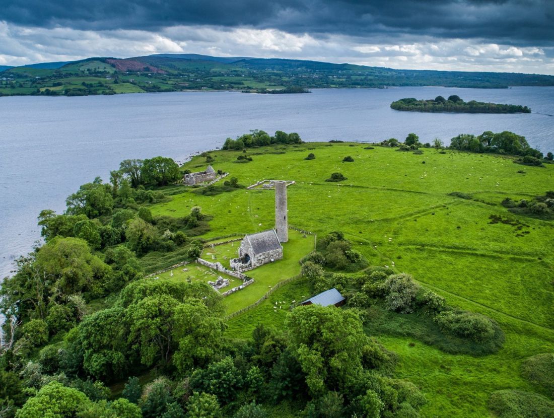
St. Michael’s church was situated towards the centre of Inis Cealtra on Lough Derg within a small children’s burial ground (CL029-009004-) which is itself within a possible ringfort (CL029-009131-). The lower courses of a very small mortared stone structure (ext. dims. 2.8m x 2.7m) oriented WNW-ESE were excavated by de Paor in 1972-3. He found it to be without foundations but it was paved internally with flags. Macalister had described a building of roughly coursed flat stones with a doorway at W (Wth 0.48m). A small fragment of moulded stone which may have been associated was found lying inside the building in 1916. De Paor established that this building was late within the chronology of activity in this area which spanned about AD 1500 to the late 19th century and was likely to have been constructed while the surrounding enclosure was in use for infant burial. This was one of the stations during pilgrimages and a large sandstone block (CL029-009052-) within the burial ground was used as a penitential station during the rounds. The area is much overgrown and only the penitential station is evident. Iniscealtra is a national monument in state care, no. 5. (Macalister 1916, 117-18; de Paor 2013, 36-7)
The following image is attached:
CL029-009003-_01.jpg View of St. Michael's church from NW during excavation.
Compiled by: Mary Tunney
Date of upload: 13 October 2015
The monument record does not grant public access. Check the route and ask the landowner before entering private land.
- What survives
- Recorded monument
Places near here
 Inishcaltra Monastic SiteArchaeological place · 41 yd
 Inishcaltra or Holy IslandIslet · 52 yd
 Enclosure in Inishcaltra OR Holy IslandEnclosure · 128 yd
 Baptism ChurchChurch · 152 yd
 St. Marys ChurchChurch · 207 yd
 Pedunculate OakPedunculate Oak · 1405 yd
 The MazeHeritage attraction · 1.3 mi
 Scarriff BayBay · 1.5 mi
 Bawn in Caher (tulla Lower By.)Bawn · 1.6 mi
 Castle BaunCastle · 1.7 mi
 Cloonoolia BayBay · 1.8 mi
 Aughinish WoodForest · 1.9 mi
Other information
Photo: Cliodhnaoleary · CC BY-SA 4.0