What is recorded here
Located in a slight NE-SW valley with the summit of Slievecoiltia Hill c. 2.5km to the NE. Three granite stones are aligned NE-SW (L of row 6.5m) increasing in H from 1.2m at NE to 1.4m in the centre and 1.8m at SW. Each stone has a roughly pointed top and from the NE the stones are diamond-shaped (dims 1m x 0.35-0.5m; H 1.2m), subrectangular (dims 1.05-1.22m x 0.68-0.82m; H 1.4m) and rectangular (dims 1-1.05m x 0.45-0.5m; H 1.8m). From the NE they are placed 1.4m and 1.87m apart.. (Westropp 1918, 13-14; Ó Nualláin 1988, 241, No. 75)
The above description is derived from the published 'Archaeological Inventory of County Wexford' (Dublin: Stationery Office, 1996). In certain instances the entries have been revised and updated in the light of recent research.
Compiled by: Michael Moore
Date of upload/revision: 29 January, 2013
Likely dating to the Neolithic or Early Bronze Age, the Whitechurch standing stones may have functioned as a ritual or astronomical alignment, possibly marking a passage or significant landscape feature. Their orientation and placement suggest a connection to ceremonial practices or territorial markers in the prehistoric landscape.
The monument record does not grant public access. Check the route and ask the landowner before entering private land.
- What survives
- Recorded monument
Places near here
 CastleCastle, tower house · 385 yd
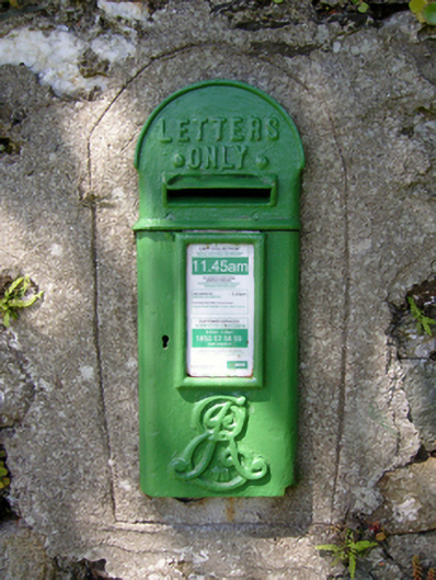 post boxpost box · 508 yd
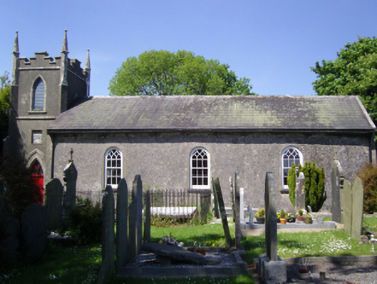 Whitechurch Churchchurch/chapel · 526 yd
 IndicatedFairy fort / earthen ringfort · 597 yd
 Not indicatdFairy fort / earthen ringfort · 812 yd
 Arboretum MapVisitor information · 1568 yd
 Bamboo CollectionVisitor information · 1616 yd
 Silver WattleSilver Wattle · 1628 yd
 Castle (in ruins)Castle, tower house · 1.0 mi
 John F. Kennedy Arboretum MuseumMuseum · 1.0 mi
 The John F. Kennedy ArboretumForest · 1.0 mi
 The Croppy GroveMemorial · 1.4 mi