What is recorded here
Two standing stones in Deehommed, County Down, belong to an uncertain prehistoric period, yet they still mark the edge of human memory. They may have guided herds, witnessed ritual or simply resisted forgetting. Whatever they did, they continued doing it long after the hands that placed them disappeared.
The official Northern Ireland record identifies this as STANDING STONES (2). Recorded period: UNCERTAIN; PREHISTORIC. The official map point was placed at the centre of the recorded archaeological site from the source map reference.
Likely dating to the Neolithic or Early Bronze Age, these standing stones may have been used for ritual, ceremonial, or territorial purposes. Their meaning or specific function is not recorded, and local folklore associated with the site is unknown.
The monument record does not grant public access. Check the route and ask the landowner before entering private land.
- What survives
- Recorded monument
Places near here
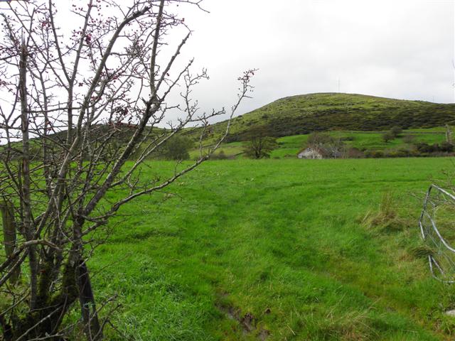 Deehommed MountainMountain / peak · 640 yd
 Historic Settlement Dechomet in DeehommedHistoric Settlement Dechomet · 1100 yd
 CHURCH & GRAVEYARD: DRUMGOOLAND in DeehommedCHURCH & GRAVEYARD: DRUMGOOLAND · 1367 yd
 SlievenaboleyMountain / peak · 1640 yd
 The Moat PadWalking route · 1697 yd
 ENCLOSUREENCLOSURE, rath · 1.0 mi
 Drumgooland Presbyterian ChurchChurch · 1.0 mi
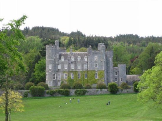 CROSS, formerly built into school, now at Castlewellan Forest Park in DrumadonnellCROSS, formerly built into school, now at Castlewellan Forest Park · 1.9 mi
 CASTLE & RATH reused as BAILEY: SEAFIN CASTLE; Magh Cobha; Moycove in SeafinCASTLE & RATH reused as BAILEY: SEAFIN CASTLE; Magh Cobha; Moycove · 2.9 mi
 Backaderry WoodForest · 4.0 mi
 Slieve Croob Transmitter Road walkWalking route · 4.0 mi
 The Brontë CentreVisitor information · 4.4 mi