What is recorded here
Four standing stones still mark the earth south-west of a stone circle in County Louth. They are not a grand chamber or a polished monument, but a small cluster that likely guided people through open farmland. There is no record of what they measured, worshipped or warned against. That absence makes them harder to forget than a place crowded with explanation.
The following description is derived from both the published 'Archaeological Inventory of County Louth' (Dublin: Stationery Office, 1986) and the 'Archaeological Survey of County Louth' (Dublin: Stationery Office, 1991). In certain instances the entries have been revised and updated in the light of recent research.
Date of upload/revision: 17 July 2007
The OS 25" sheet (1907) shows four standing stones c. 40m SW of a stone circle (LH004-00201-).
The monument record does not grant public access. Check the route and ask the landowner before entering private land.
- What survives
- Recorded monument
Places near here
 Ravensdale LoopWalking route · 104 yd
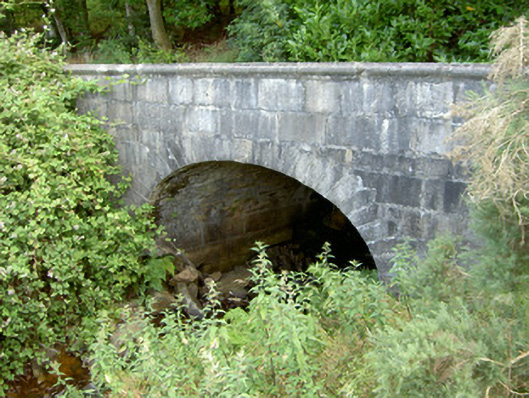 Ravensdale Housebridge · 218 yd
 Ravensdale ForestForest · 684 yd
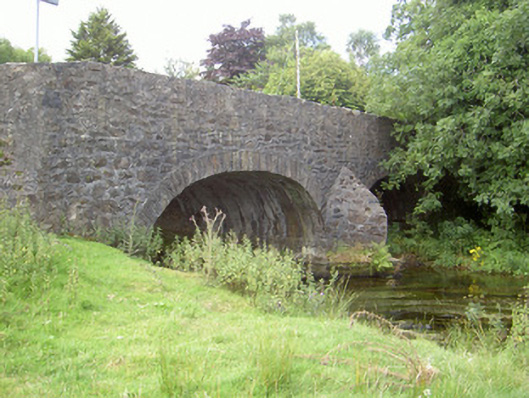 Curralhir Bridgebridge · 1235 yd
 Feede MountainMountain / peak · 1298 yd
 The Ben RockMountain / peak · 1344 yd
 Clermont CarnPassage tomb · 1745 yd
 1978 British Army Gazelle downingaviation accident · 1.0 mi
 Sweathouse in AnavernaSweathouse · 1.0 mi
 KILNASAGGART INSCRIBED PILLAR STONE & CEMETERY with 6 CROSS-CARVED STONES: CELL NA SACART in EdenappaKILNASAGGART INSCRIBED PILLAR STONE & CEMETERY with 6 CROSS-CARVED STONES: CELL NA SACART · 1.4 mi
 CASTLE & BAWN: MOYRY or MOIRY CASTLE in CarrickbroadCASTLE & BAWN: MOYRY or MOIRY CASTLE · 1.7 mi
 Moyry CastleCastle · 1.7 mi